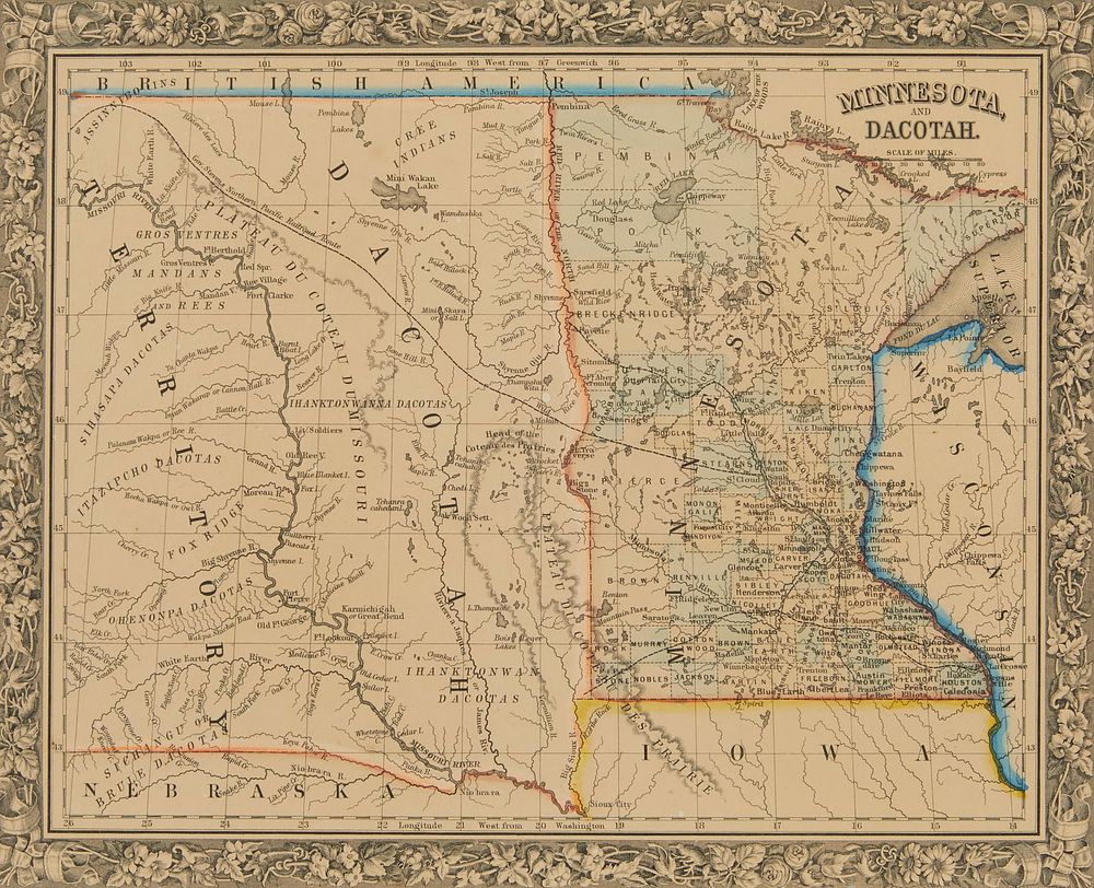
Bidspirit auction | 1860 Minnesota and Dacotah Territory
1860 Minnesota and Dacotah Territory Map - Hand-colored map depicting Minnesota and the Dakota territories. Parts of Wisconsin and Iowa are seen in the margins. Surrounded by a border of floral vines and ribbons. Inscribed in the margin ”Entered according to act of Congress in the year 1860 by S. Augustus Mitchell Jr. in the Clerks Office of the District Court of the U.S. for the Eastern District of Pennsylvania.” Sight; height: 12 in x width: 14 1/2 in. Framed; height: 13 in x width: 15 1/2 in x depth: 1/2 in. Condition: There are no visible creases, tears, or losses. There is toning to the sheet. There are a few minute areas of discoloration, most notably halfway down the left margin. There a few minute areas of foxing throughout. There are no signs of restoration under UV light. Not examined out of frame. Framed under glass. Wear to the frame.