Bidspirit auction | Henry Gray, ”Laurens District, South
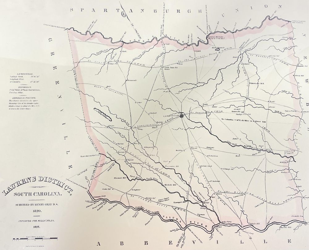
Henry Gray, ”Laurens District, South Carolina” - Henry Gray, ”Laurens District, South Carolina” A framed map titled 'Laurens District, South Carolina' surveyed by Henry Gray in 1820 and improved by Robert Mills in 1825. This map is a 1938 facsimile, one of 350 copies printed as part of the Atlas of the State of South Carolina. It details the geographical layout of Laurens District with surrounding areas labeled, including Spartanburg, Greenville, and Abbeville. Dimensions - 22.5” X 18” X 1”