Bidspirit auction | Stanford's Library Map of Europe
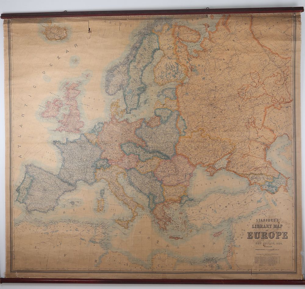
Stanford's Library Map of Europe New Edition 1924 Pull-Down Wall Map - A large-format vintage pull-down wall map titled Stanford's Library Map of Europe, New Edition, 1924. The map was published by Edward Stanford, Ltd., of London, located at 12, 13, & 14 Long Acre, W.C. The chart features color-coded political boundaries and geographical details, reflecting the post-WWI geopolitical landscape of Europe. The map material is printed paper, likely linen-backed, and is affixed to dark-stained hardwood rollers at the top and bottom for classroom or library display. Visible text includes the publication date of 1924 and scales of measure, including English miles and kilometres.