Bidspirit auction | Scarce Map of Grenada During
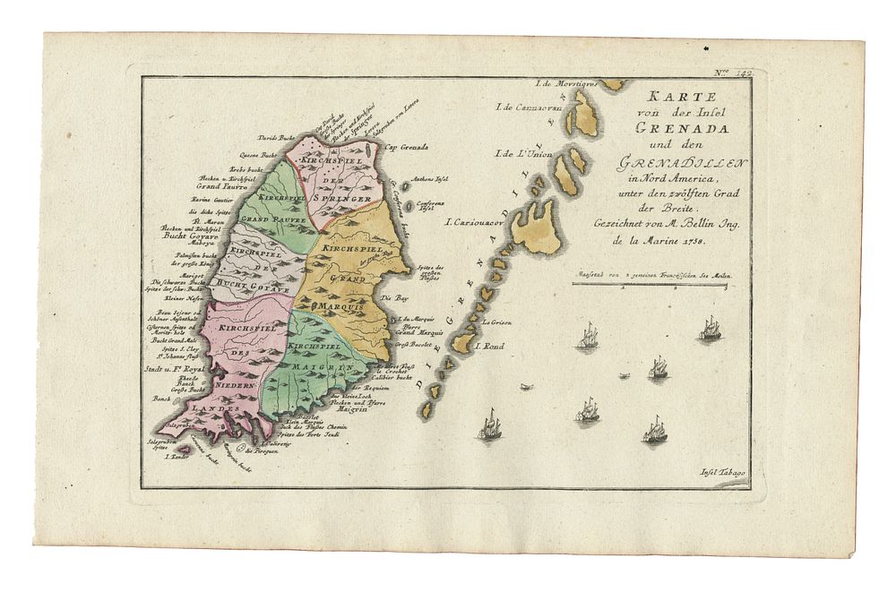
Scarce Map of Grenada During the Seven Years' War, After Bellin, Published in Raspe's Schau Platz des gegenwaertigen Kriegs, 1762 - This scarce map of Grenada and the Grenadines, created after Bellin and published in Gabriel Nikolaus Raspe’s Schau Platz des gegenwaertigen Kriegs (Plates Illustrating the Current Wars) in 1762, depicts the island during the tumultuous Seven Years' War. Following the British capture of French-held Grenada and other Caribbean islands under Admiral George Rodney, this map reflects the strategic importance of the West Indies. Grenada and St. Lucia were formally ceded to Britain by the 1763 Treaty of Paris. The map is presented in original colour and is in good condition with large margins. An exceptional addition for collectors of military history, cartography, and 18th-century war maps. Size of sheet 24.5cm (height) x 39cm (width), 9.6 x 15.35 inch.