Bidspirit auction | Tallis' Map of Panama, Full
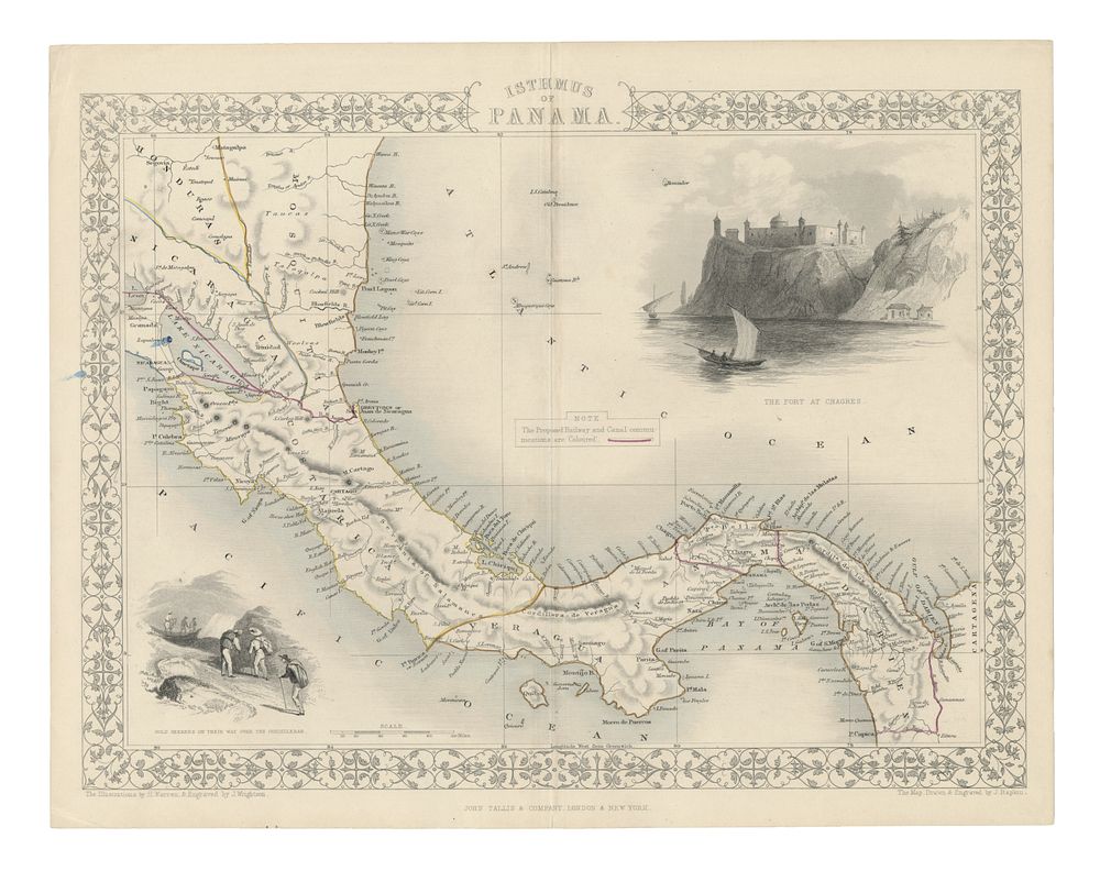
Tallis' Map of Panama, Full Colour with Vignettes of Chagres Fort & Gold Seekers, c.1851 - This striking full-colour map of Panama, engraved for R. Montgomery Martin’s Illustrated Atlas of the World, features beautifully detailed vignettes of the Fort at Chagres and gold seekers crossing the Cordilleras, along with proposed railway routes. As one of the last great decorative mapmakers, Tallis is renowned for incorporating vivid illustrations of indigenous scenes, people, and landscapes, making his maps highly sought after. The map is in good condition with remarkable colouring, though it does have two smudged blue dots from the colouring process. A stunning addition for collectors of decorative maps, 19th-century cartography, and historical depictions of Panama. Size of sheet 27.5cm (height) x 35.5cm (width), 10.8 x 14 inch.