Bidspirit auction | Terrae Yemen Maxima Pars Map
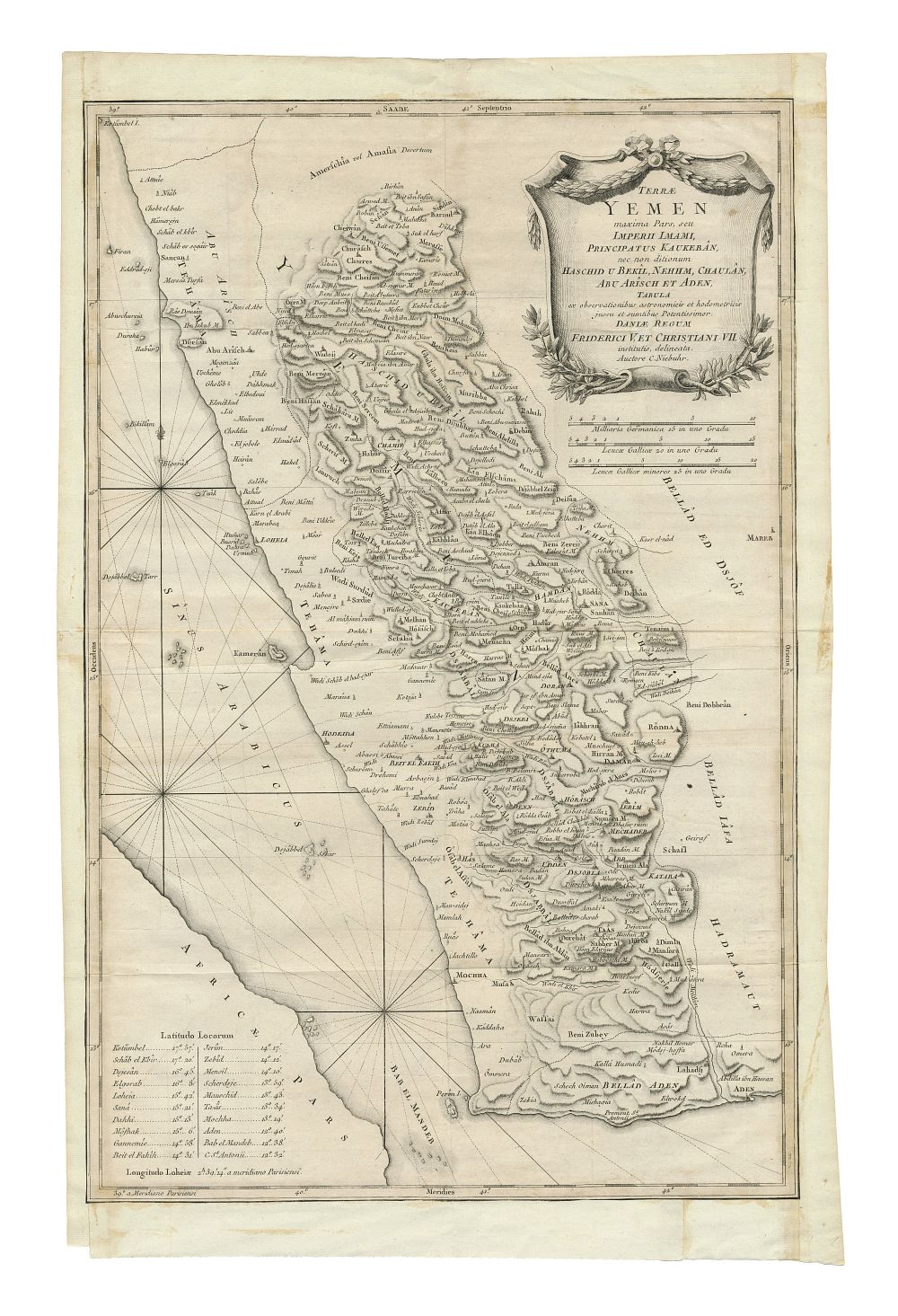
Terrae Yemen Maxima Pars Map by C. Niebuhr, Engraved in Copenhagen, 1771 - This detailed map of Yemen, engraved in Copenhagen in 1771, is part of the original Copenhagen edition of C. Niebuhr’s account of his travels (1772-1773). Commissioned by King Frederick V and Christian VII of Denmark, this map was created following the Royal Danish Arabia Expedition (1761-1767), with Niebuhr being the only survivor. It is considered the earliest reliable printed map of Yemen. The map covers Yemen’s territories including the regions of Kaukebân, Haschid, Bekîl, Nehhm, Chaulân, Abu Arîsch, and Aden. Copper engraving, condition: some minor wear, staining, and creases to the paper. Size of sheet 62cm (height) x 41cm (width), 24.4 x 16 inch.