Bidspirit auction | Map of the West Indies
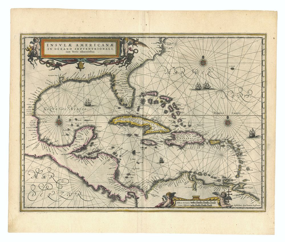
Map of the West Indies & North America by Jan Jansson, Published in Amsterdam, 1638 - This beautifully detailed map, Insulae Americanae in Oceano Septentrionali, by Jan Jansson, depicts the West Indies and the coastline of North America as far north as Chesapeake. Published in Amsterdam in 1638, this Latin text edition features vibrant, full-color decoration, including three large ornate cartouches. The map provides an early, intricately designed representation of the Americas, offering key geographical insights of the time. Great for collectors of antique maps, Caribbean maps, and early 17th-century cartography. The map is in good condition with full margins, though some creasing is visible. Size of image 38 cm (height) x 51.5 cm (width), 15 x 20 inch.