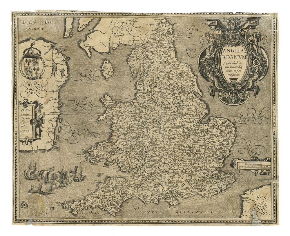
Bidspirit auction | Anglia, Regnum Map by Ortelius,
Anglia, Regnum Map by Ortelius, Antwerp, c. 1603 - This important map of the United Kingdom, Anglia, Regnum si quod aliud in toto Oceano ditissimum et florentissimum, was created by Abraham Ortelius in c. 1603, based on Christopher Saxton's earlier map of 1579. The map depicts England, Ireland, and Wales with fine detail, showcasing Ortelius' precise cartographic style. Great for collectors of early British maps, Ortelius maps, and European cartography. Condition: The map has trimmed margins and significant restoration to the bottom half. Size of sheet 37cm (height) x 47cm (width), 14.5 x 18.5 inch.