Bidspirit auction | Carta dell'ultimo Viaggio del Capitano
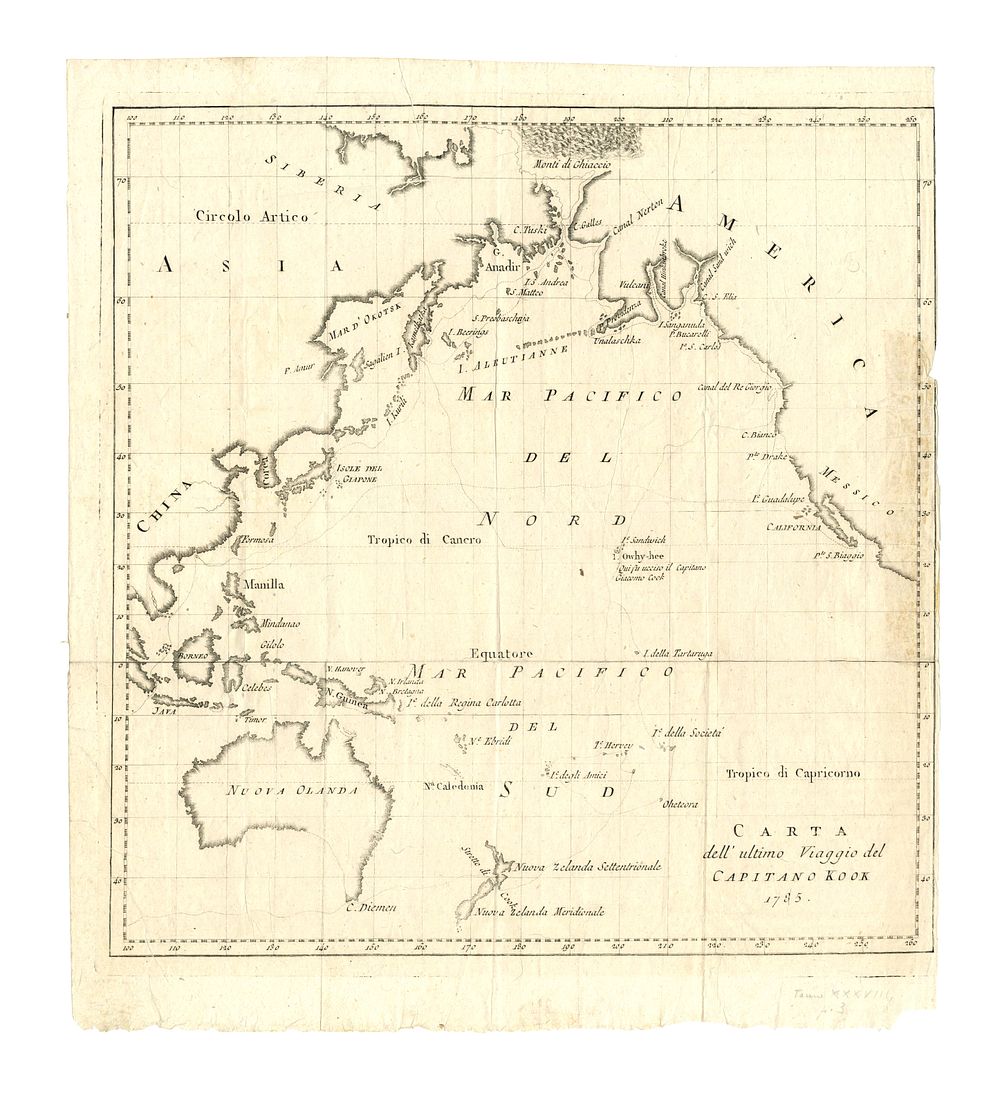
Carta dell'ultimo Viaggio del Capitano Kook 1785 by La Harpe - Italian Map of Captain Cook’s Final Voyage - This Italian map, titled Carta dell'ultimo Viaggio del Capitano Kook 1785, created by La Harpe, details the geographical expanse covered during Captain James Cook's final voyage. The map outlines portions of the North Pacific Ocean, including the Arctic Circle, the Siberian coast, Kamchatka Peninsula, and the western coast of North America. It features the Pacific Ocean (Mar Pacifico), the coastline of California, and islands in the South Pacific, such as New Zealand (Nuova Zelanda) and New Caledonia (Nuova Caledonia), which Cook visited. The map also reflects the limited European knowledge of the Pacific Northwest at the time and showcases the various islands Cook encountered in Polynesia. A key historical document, this map represents the European understanding of world geography following Cook's explorations. Great for collectors of exploration maps, Captain Cook maps, and 18th-century cartography. Condition: Right margin missing, with some staining to the right side of the map. Size of image 36cm (height) x 34cm (width), 14 x 13 inch.