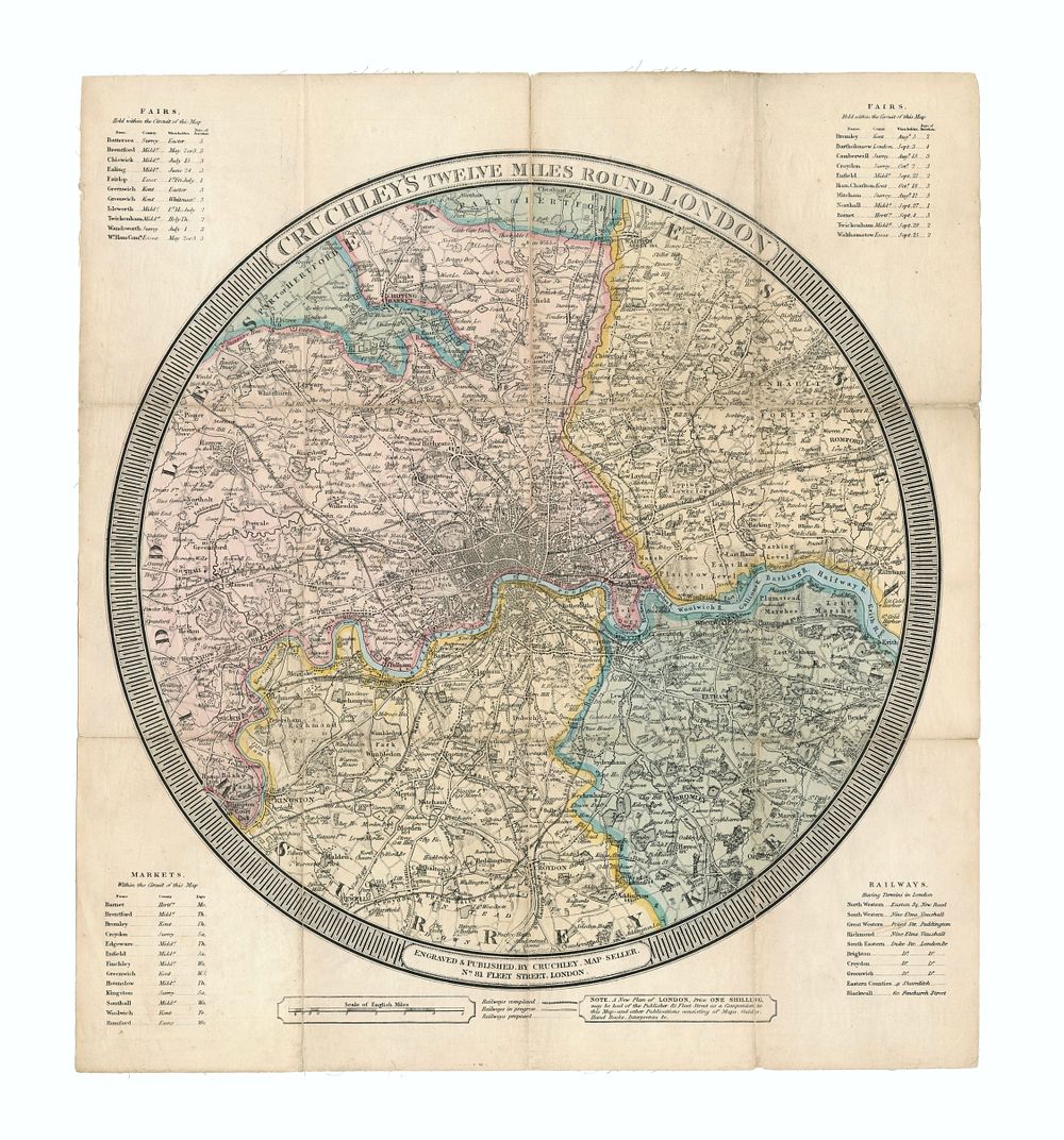
Bidspirit auction | Cruchley's 1833 ”Twelve Miles Round
Cruchley's 1833 ”Twelve Miles Round London” Antique Map - This 1833 Cruchley map of London showcases intricate hand-colouring for county subdivisions, parks, and major roads, including the River Thames. Featuring fine detailing, the map highlights London's expansion during the early 19th century, with areas like Hackney Marshes, Regent's Park, Paddington Canal, and the Croydon and Surrey Canals. The map is presented with a circular piano border, including tables for fairs, markets, and waterman fares. Great for collectors of London maps, London views, London and environs, British Isles maps. Condition: general toning, minor edge wear, and some creasing, backed on linen. Size of sheet 43cm (height) x 38.5cm (width), 16.9 x 15.15 inch.