Bidspirit auction | Coronelli's c.1690 ”Isola di Madagascar”
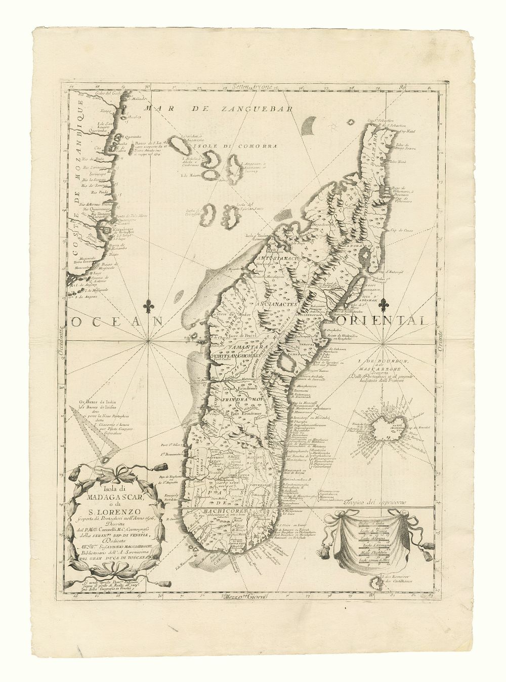
Coronelli's c.1690 ”Isola di Madagascar” Antique Map, Mozambique Coastline, Comoros & Reunion - This large and decorative 17th-century map of Madagascar, Isola di Madagascar, ò di S. Lorenzo scoperta dà Portoghesi nell'Anno 1506, was published by Vincenzo Coronelli in Venice c.1690. Engraved in Coronelli’s unique style, the map not only shows Madagascar but also includes parts of the Mozambique coastline, the Comoros Islands, and Reunion. The verso contains Italian text and a smaller image of the island. Ideal for collectors of vintage maps, Madagascar charts, and works by Coronelli. Condition: A good example with strong detail. Size: 61.5 x 46 cm (24.2 x 18.1 inches).