Bidspirit auction | Lapie's 1811 ”Carte de la
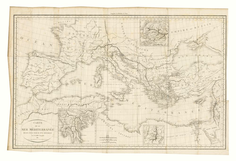
Lapie's 1811 ”Carte de la Mer Méditerranée” Map of the Mediterranean Sea and Surrounding Countries - This map, titled Carte de la Mer Méditerranée, was created by Lapie in 1811, depicting the Mediterranean Sea and its surrounding countries. It offers a detailed view of the region during the early 19th century, capturing key coastal areas and borders. Ideal for collectors of historical maritime maps, Mediterranean cartography, and early 19th-century European maps. Condition: Signs of wear, with a repaired tear on the right side, visible creasing, and a small hole on the map. The right margin is also trimmed. Size: 47 x 76 cm (18.5 x 29.9 inches).