Bidspirit auction | John Speed's First Map of
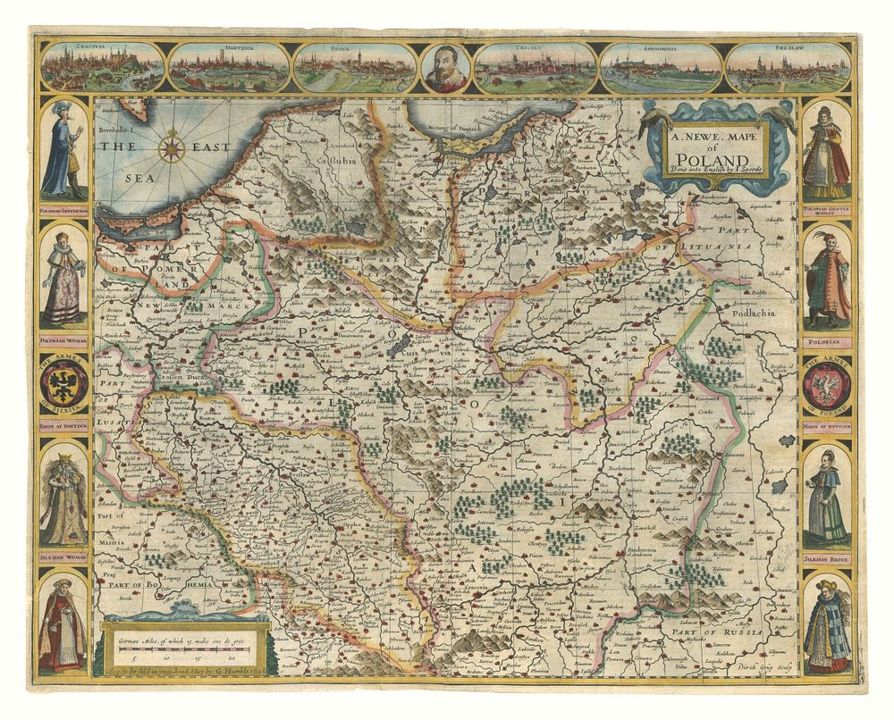
John Speed's First Map of Poland, 17th Century, Decorative Vignettes & Costumes, English Atlas Edition - This decorative map of Poland by John Speed, published as the first map of Poland in an English atlas, features exquisite birdseye views of Cracow, Dantzick, Posna, Crossen, Sandomiria, and Breslaw across the top. Along the sides, indigenous costumes are depicted, including a Polonian Gentleman and Gentlewoman, Polonian Man and Woman, and several regional figures such as a Silesian Woman, Bride, and Dantszck Maid. Titled A Newe Mape of Poland Done into English by I. Speede, this map is highly sought after by collectors of antique maps, maps of Poland, Mpas by John Speed, Europe maps. The English text on the verso provides an intriguing Anglo-centric description of Poland. Condition: Coloured, with small margins, parts of the map restored (bottom of vignette of Crossen), and a small hole and repaired rip near the centre. Size of sheet: 41 x 52 cm (16.1 x 20.5 inches).