Bidspirit auction | 1750 Gilles Robert de Vaugondy
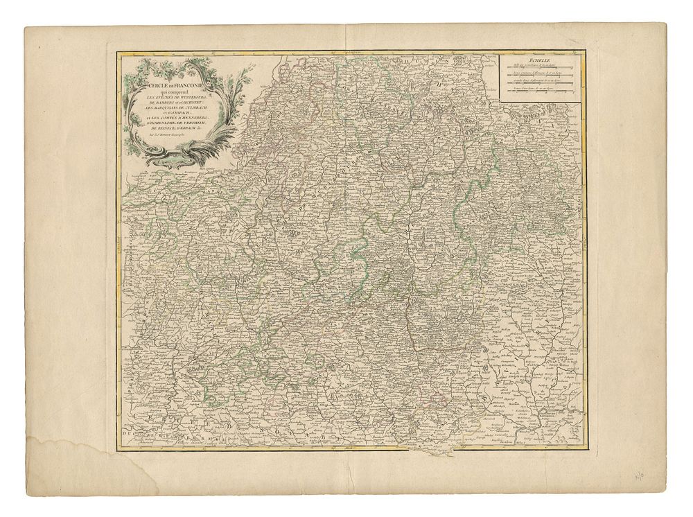
1750 Gilles Robert de Vaugondy Map of Germany, Franconia & Decorative Vignette, Original Colour - This original map, published by Gilles Robert de Vaugondy in Paris c.1750, depicts the Cercle de Franconie, which includes the dioceses of Würzburg, Bamberg, and Eichstätt, along with the marquisates of Kulmbach. The map is beautifully illustrated with a decorative vignette, adding to its historical charm. Ideal for collectors of 18th-century maps of Germany, Franconia, and European cartography. Condition: A good example with a stain to the lower left margin. Image size: 47.5 x 55.5 cm (18.7 x 21.9 inches). Sheet size: 55.5 x 75.5 cm (21.9 x 29.7 inches).