Bidspirit auction | 1891 Map of the Environs
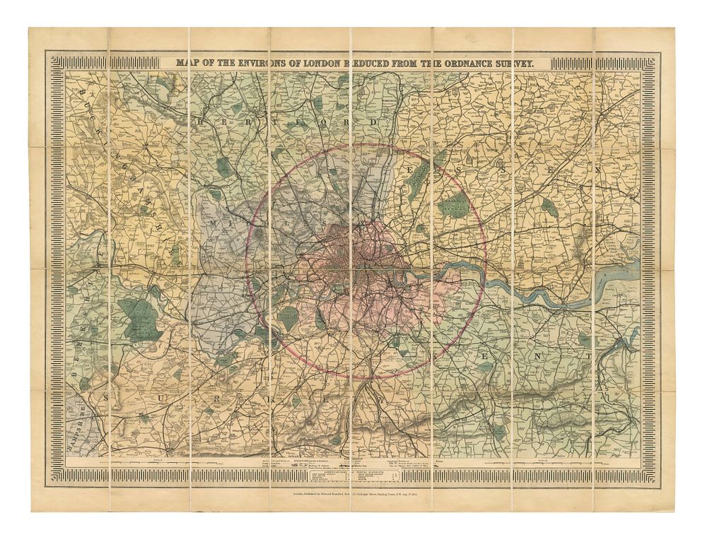
1891 Map of the Environs of London, Railways & 12-Mile Radius, Original Colour, Dissected & Laid on Linen - This detailed 1891 map of the environs of London, titled Map of the Environs of London Reduced from the Ordnance Survey, was published by Stanford in London. The map highlights the railway lines and shows the surrounding areas, extending to Great Marlow in the west, Aylesbury, Hatfield, Chelmsford, Chatham, Maidstone, Reigate, and Guildford. A circle marks a 12-mile radius from the General Post Office in St. Martin's Le Grand, which served as London’s main post office between 1829 and 1910. The map is in original colour, dissected, and laid on linen as issued. Ideal for collectors of antique London maps, railway maps, and Ordnance Survey plans. Condition: A good example. Total size: 640 x 850 mm (25.2 x 33.5 inches).