Bidspirit auction | 1662 Blaeu Map of the
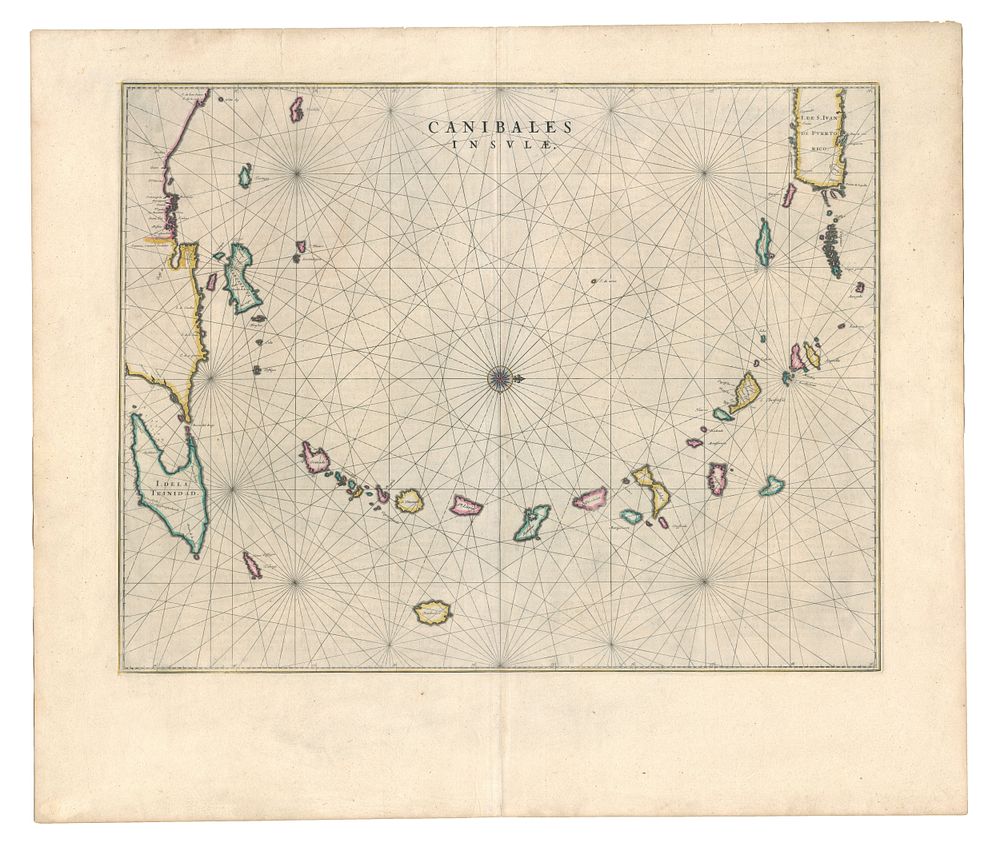
1662 Blaeu Map of the Lesser Antilles, ”Canibales Insulae”, Caribbean Islands, Coloured, Latin Text Edition - This 17th-century chart of the Lesser Antilles, titled Canibales Insulae, was published by Johannes Blaeu in Amsterdam in 1662, as part of the Latin text edition. The map covers the Caribbean islands from eastern Puerto Rico and the Virgin Islands to Trinidad and the Venezuelan coast. Notably, the map is orientated with north to the right and includes detailed depictions of islands such as Antigua, Anguilla, and Granada. This map is comparatively uncommon as it was only included in the Americas volume of Blaeu’s Atlas Major, his final and largest atlas. Ideal for collectors of antique maps of the West Indies, the Caribbean, and 17th-century atlases. Condition: A good example, rip to top margin repaired. Size: 420 x 530 mm (16.5 x 20.9 inches).