Bidspirit auction | Large 18th Century English Map
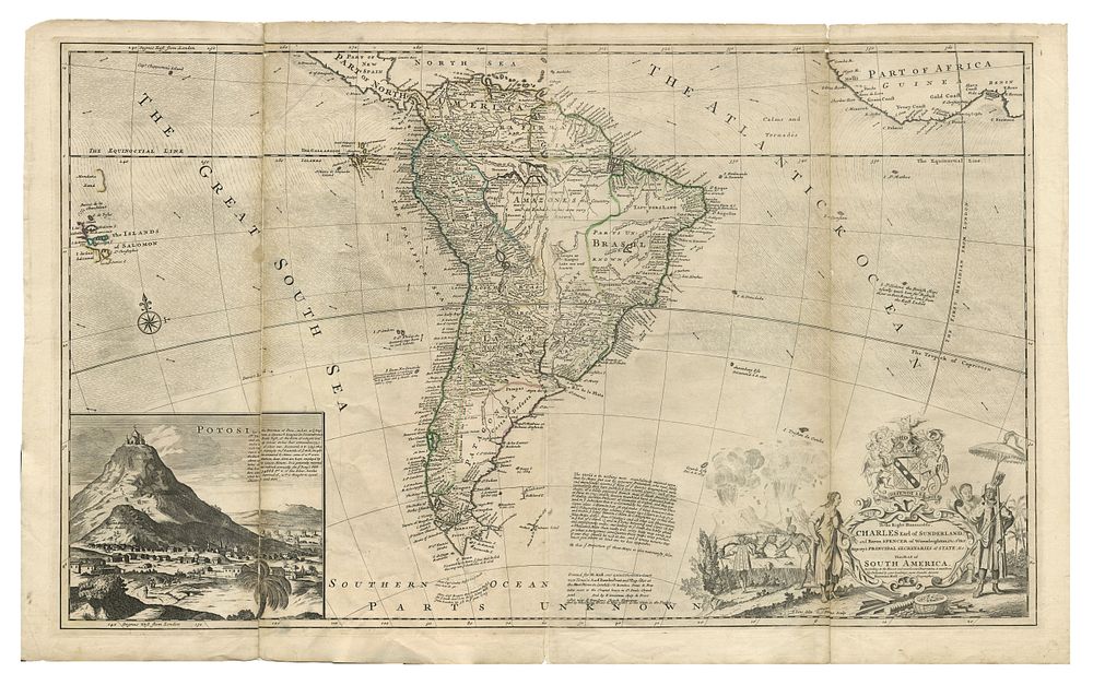
Large 18th Century English Map of Colonial South America by Herman Moll, Uncoloured, with Inset of San Luis Potosi - This striking large-format map of South America, published by Herman Moll in the early 18th century, provides detailed coverage of the continent with fascinating annotations. The map features an inset of San Luis Potosi, depicting a mountain village with windmills. The elaborate cartouche includes two volcanos, an ornate coat of arms, and a scene of indigenous peoples. The map extends to the Galapagos Islands and the Islands of Salomon, with ocean currents shown. As one of the leading English map makers of the first half of the 18th century, Herman Moll's work was renowned for its accuracy and fine details, incorporating information from influential figures in science and exploration. Ideal for collectors of antique maps of South America, colonial-era cartography, and works by Herman Moll. Condition: Uncoloured, repairs made to fold creases, small hole to one of the fold creases. Visible sign of wear. Size of image: 57.5 x 95 cm (22.6 x 37.4 inches).