Bidspirit auction | Early 18th Century Double-Hemisphere World
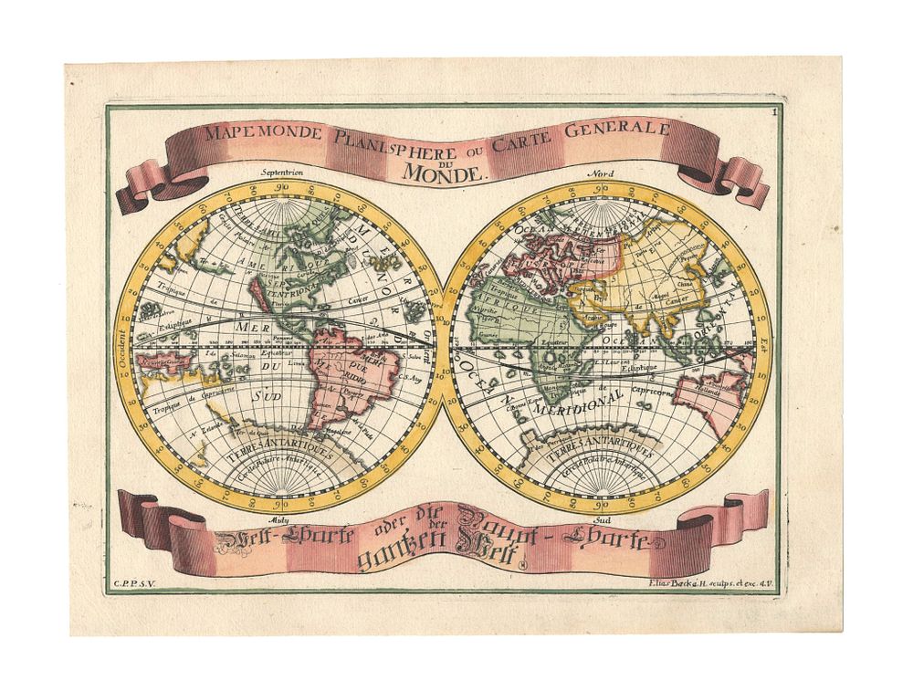
Early 18th Century Double-Hemisphere World Map by Elias Baeck, ”Mapemonde Planisphere”, 1710, Coloured - This early 18th-century double-hemisphere world map, titled Mapemonde Planisphere ou Carte Generale du Monde, was published by Elias Baeck in Augsburg around 1710. It depicts a world where California is shown as an island, reflecting the cartographic knowledge of the time. The map was included in Baeck’s Atlas geographicus: oder Accurate Vorstellung der gantzen Welt and is a fine example of early modern world mapping. Ideal for collectors of antique world maps, 18th-century cartography, and maps of exploration. Elias Baeck (1679-1747), also known by the alias ‘Heldenmuth,’ was a noted German mapmaker. Condition: A good example. Size: 160 x 215 mm (6.3 x 8.5 inches).