Bidspirit auction | Large French Sea Chart of
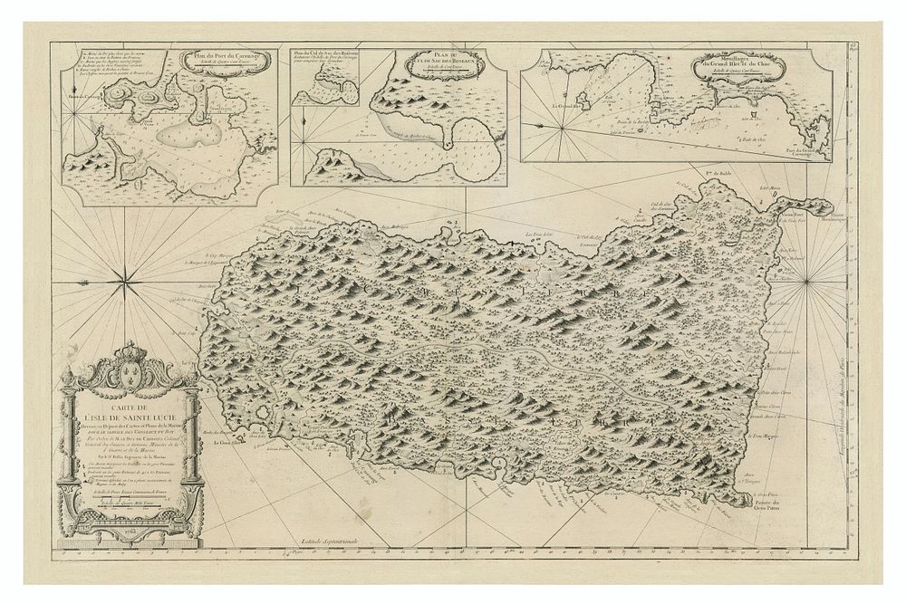
Large French Sea Chart of St. Lucia, 1763 - This detailed map of the Island of St. Lucia was published by the French Naval Hydrographical Department at the conclusion of the Seven Years War. It features remarkable detail for the period, highlighting the island’s topography and maritime routes. The map includes inset plans of the Harbors of Port Carenage (Castries), Roseaux (Marigot Bay), and Grand Islet du Choc (Gros Islet). A large decorative title cartouche adorns the map, enhancing its visual appeal. Titled Carte De L'Isle De Sainte Lucie Dressee au Depost des Cartes et Plans de la Marine . . . 1763, this map is an excellent addition to collections of French naval charts, Caribbean geography, St Lucia map, Caribbean maps, and 18th-century maritime history. Condition: Good, with some discoloration. Size: 55.5 x 87 cm (21.9 x 34.3 inches).