Bidspirit auction | 18th Century Map of the
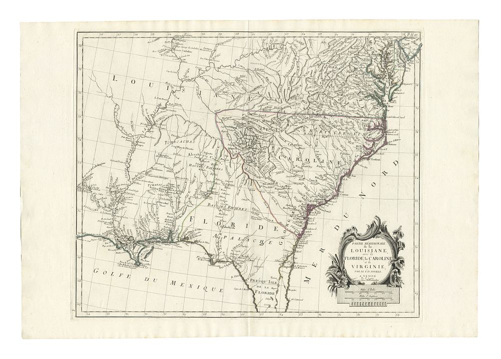
18th Century Map of the South East of North America by Santini 1776 - This 18th-century map, titled Partie Méridionale de la Louisiane, avec la Floride, La Caroline et la Virginie, was published in Venice by Giuseppe Antonio Remondini in 1784. The map is a close copy of D'Anville's detailed work of the southeastern United States, covering the region from Delaware Bay in the north, south to Cape Canaveral, and extending westward to the Mississippi River and New Orleans. The map is adorned with a rococo-style cartouche in the lower right, adding a decorative touch. The map is in its original outline colour, offering an excellent representation of the southeastern part of North America during the late 18th century. A significant piece for collectors of historical maps of Louisiana, Florida, the Carolinas, and Virginia, as well as early American cartography. Condition: A good example with light wear. Size: 49 x 58 cm (19.3 x 22.8 inches).