Bidspirit auction | Description De La Tartarie, Korea
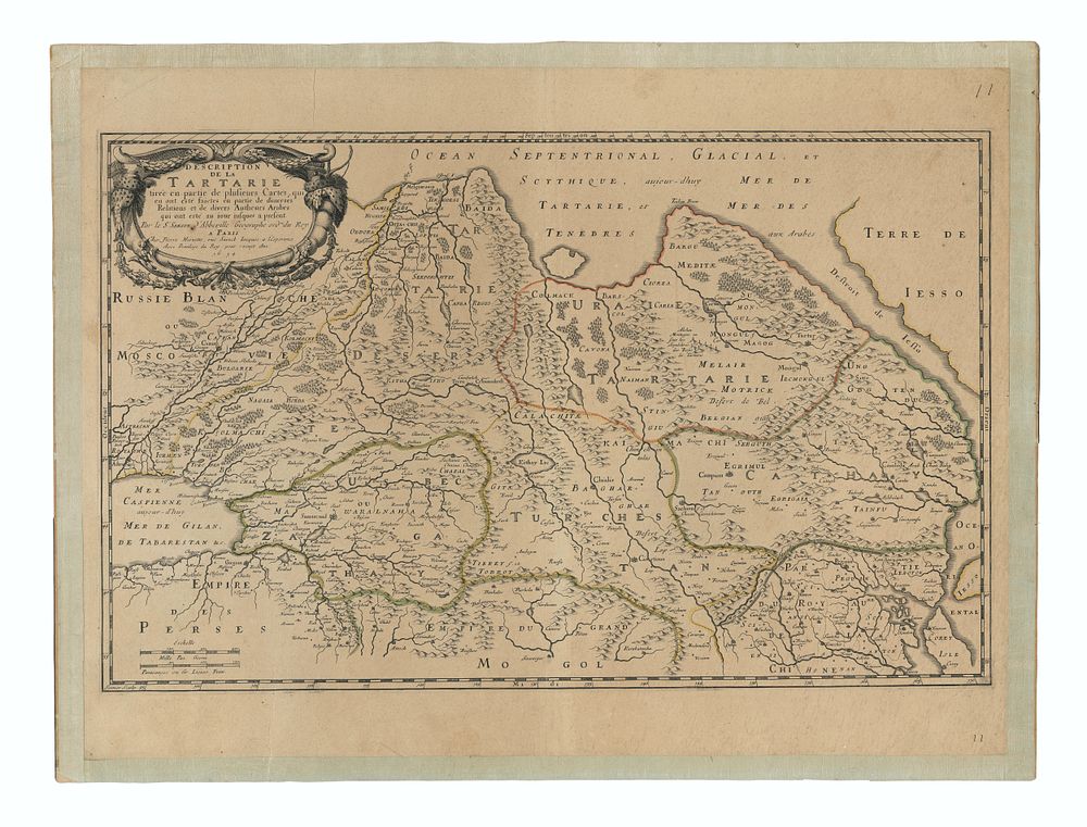
Description De La Tartarie, Korea as an Island, 1654, by Pierre Marriete, Early French Map of Tartary, Korea as an island - This early French map of Tartary, extending from the Caspian Sea to the Island of Korea (as depicted at the time), is one of the earliest detailed maps of the region. It shows the geographic area between the Caspian and Korey Isle, the latter erroneously represented as an island. Published in the mid-17th century, this map provides a detailed view of Tartary, incorporating knowledge from Arab sources and European cartographers. The work also features early European depictions of East Asia, heavily influenced by the Jesuit missionaries' reports and maps from China and Japan. good for collectors of, Korea maps, Tartarie maps. Condition: Mounted to board, with signs of wear and discoloration. Size: Image size: 35.5 x 57 cm (14 x 22.4 inches)