Bidspirit auction | 18th Century Map Celebrating the
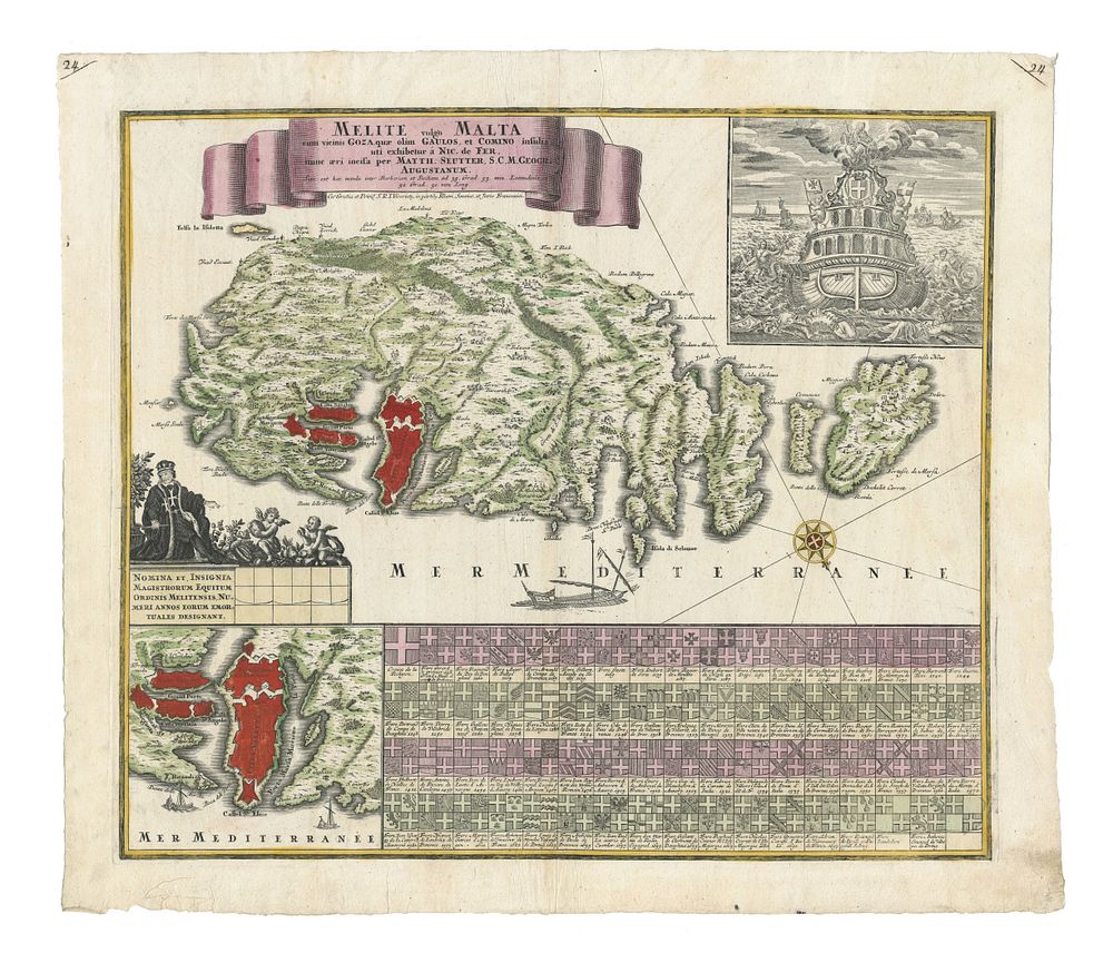
18th Century Map Celebrating the Knights of Malta by Seutter - This striking 18th-century map, titled Melite vulgo Malta cum vicinis Goza, quae olim Gaulos, et Comino insulis, uti exhibetur á Nic. De Fer, was published in Augsburg around 1760 by Matthäus Seutter. The map features the island of Malta with its neighbouring islands of Gozo and Comino, as well as an inset map of Valletta, the capital of Malta. The map is richly decorated with the arms of 64 Grand Masters of the Knights of Malta, celebrating their influence and maritime power. Additionally, an allegorical scene is included, representing the sea power of the Knights. The map is coloured in its original hues and is an excellent example of the grand style of 18th-century European cartography. It is a key piece for those interested in the history of Malta, the Knights of Malta, Mediterranean exploration. Condition: A good example with some minor wear. Size: 500 x 580mm (19.7 x 22.8 inches).