Bidspirit auction | Wall Map of the Empire
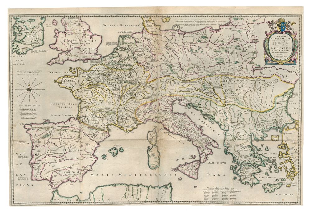
Wall Map of the Empire of Charlemagne by Petrus Bertius (1620) - This rare 4-sheet wall map, titled Imperii Caroli Magni et vic vicinarum regionum Descriptio, Dedicata et inscripta Ludovico, Regi, Victori Et Defensori Ecclesiae Christi, was created by Petrus Bertius and published in 1620. The map covers the vast expanse of the Empire of Charlemagne, stretching from the Iberian Peninsula and Ireland to the Black Sea and the Turkish Aegean coastline. It includes key Mediterranean regions such as the Balearic Islands, Sicily, Sardinia, Malta, Corsica, and all of Greece. The map is renowned for its detailed depiction of the period, with wide margins and attractive colour. This monumental piece provides a fascinating glimpse into the geography of the Holy Roman Empire and its neighbouring regions in the early 17th century. Condition: A nice example with repairs made to the centre folds and other folds, and small margins. Size: 64 x 98cm (25.2 x 38.6 inches).