Bidspirit auction | Superioris Atque Inferioris Alsatiae by
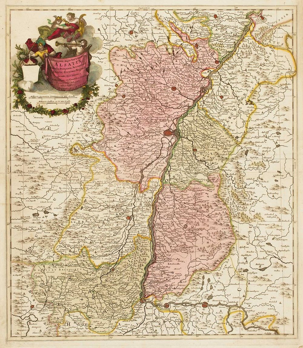
Superioris Atque Inferioris Alsatiae by Pieter Schenk, c.1710 - This map titled Superioris Atque Inferioris Alsatiae by Pieter Schenk, published in Amsterdam around 1710, offers a detailed view of the Alsace region, highlighting both Upper and Lower Alsace. The map is beautifully illustrated with an allegorical title cartouche, which remains in full original colour. It prominently features the cities of Strasbourg and Basle, key locations in the region, and provides a detailed geographical representation of the area during the early 18th century. The map's original body colouring enhances its decorative quality, making it a fine example of the cartographic artistry of the period. Great for collectors of Schenk, Alsace, France, Strassburg, antique maps, 18th-century maps, European maps. Condition: There are repairs to the binding folds, and a small hole is visible in the upper right side of the image. Size: 58 x 49.5 cm (22.8 x 19.5 inches).