Bidspirit auction | Novam Hanc Territorii Francofurtensis Tabulam
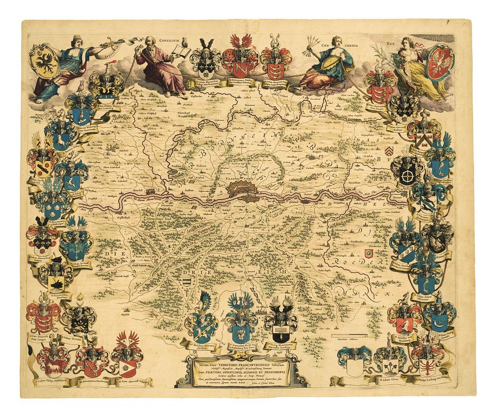
Novam Hanc Territorii Francofurtensis Tabulam by Johannes Blaeu, c.1640 - This stunning map, Novam Hanc Territorii Francofurtensis Tabulam, was created by Johannes Blaeu and published in Amsterdam around 1640, with French text. It is widely regarded as one of Blaeu's most beautiful productions and was even chosen as the cover illustration for Tooley's Dictionary of Mapmakers. The map depicts the area around Frankfurt and is surrounded by over thirty armorial shields, with four allegorical figures featured along the top, all rendered in full original colour. This example has had the original pagination marks erased, and ink manuscript replacements added. Great for collectors of Johannes Blaeu, Frankfurt, Francoforte, Germania, Pianta, Città, Town Plan, antique maps, 17th-century maps, collector's maps. Condition: The paper is toned with some small nicks to the right edge of the margin, original colour. Size: 45.5 x 55 cm (17.9 x 21.7 inches).