Bidspirit auction | The Road from London to
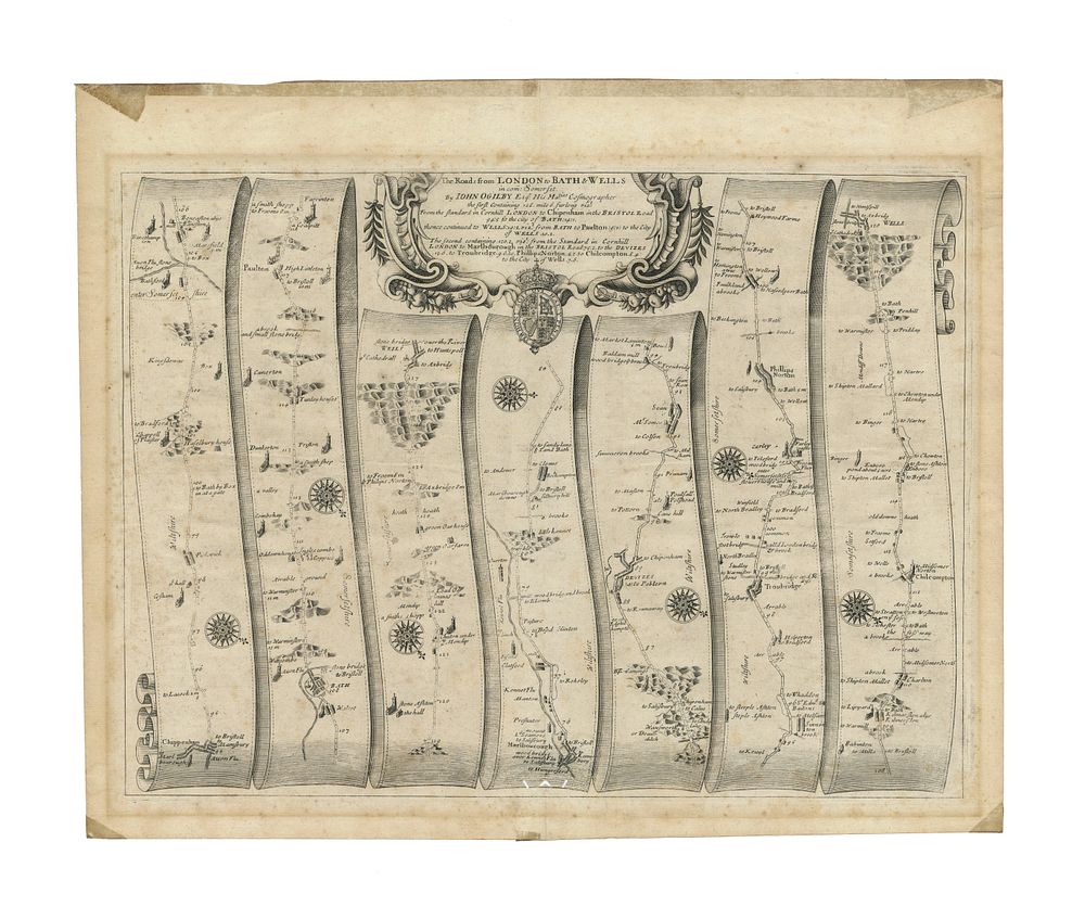
The Road from London to Bath & Wells (No. 35 of 100 maps in Britannia by John Ogilby), c. 1675 - This antique strip map is from John Ogilby’s Britannia, first published in 1675. It is map No. 35 in the series of 100 maps featured in the atlas, which was one of the first comprehensive road atlases in Britain. The map illustrates the route from London to Bath and Wells, with the journey beginning in Chippenham and continuing through several towns and cities, including Bath, Paulton, Wells, Marlborough, Devizes, Troubridge, Philips Norton, and Chilcompton. Condition: The map is in good condition, though it has minor holes at the bottom of the image and some signs of wear typical for a map of this age. Size of Image: 33 x 45 cm (approximately 13 x 17.7 inches) Keywords: John Ogilby, Britannia, road map, 17th-century map, London to Bath, Bath & Wells, strip map, travel guide, historical cartography, Chippenham, Marlborough, Devizes, Wells, English roads, vintage map, hand-coloured map, 1675, historical transportation.