Bidspirit auction | Blue-Back Chart of the Bay
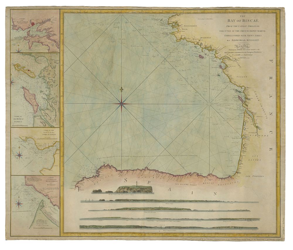
Blue-Back Chart of the Bay of Biscay by Steel & Co., 1813 - A detailed nautical chart titled The Bay of Biscay, From the Latest Original Executed at the French Depot Marine, Embellished with Views Taken by Admiral Knight, second edition, revised and corrected on October 25th, 1813. This chart covers the Bay of Biscay from Ushant to Cape Finisterre in northern Spain, featuring four inset charts of harbours and rivers, as well as coastal profiles based on the work of Admiral Knight, a Rear Admiral of the Blue. Published during the Napoleonic Wars, the chart is believed to be based on a captured French chart. Notably, the verso bears the label of Arbon & Krup, a Rotterdam-based chart-selling firm, reflecting the complex alliances of the time. The chart was published in London in 1813 and is coloured and backed onto blue paper as issued. The condition is good, with some faint staining. The size is 69 x 83 cm (27.17 x 32.68 inches). Keywords: Steel, Bay of Biscay, Sea chart, France, Europe, Napoleonic War chart, historical maritime chart, Admiral Knight, coastal profiles, naval chart, 1813 sea chart, historical map of France, blue-back chart.