Bidspirit auction | Rare Coastal Survey Map of
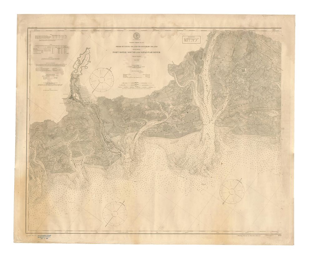
Rare Coastal Survey Map of Georgia and South Carolina by US Coast Survey, 1902 - A rare original coastal survey map titled Coast Chart from Hunting Island to Ossabaw Island Including Port Royal Sound and Savannah River, published in Washington D.C. by the United States Coast and Geodetic Survey in 1902. This map depicts the border between Georgia and South Carolina, showcasing key locations such as Savannah, Bluffton, Beaufort, Hilton Head Island, Hunting Island, and Port Royal Island. It includes vital maritime information such as soundings, storm warnings, navigational lights, and tidal data, making it an invaluable resource for navigation and coastal studies in the region. The chart is a colour-printed lithograph with a total sheet size of 92 x 112 cm (36.22 x 44.09 inches). Condition: minor stains to the upper part of the map. Keywords: Georgia map, South Carolina map, US Coast Survey, Port Royal Sound, Savannah River, coastal survey, navigational chart, maritime chart, 20th century nautical map, historical sea chart, Bluffton, Beaufort, Hilton Head Island.