Bidspirit auction | Scarce 17th Century Plan of
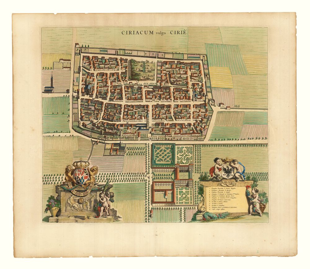
Scarce 17th Century Plan of Cirié by Johannes Blaeu, c. 1682, Superb Colour - A scarce 17th-century plan of Cirié, near Turin in Piedmont, titled ”Ciriacum vulgo Cirié”, by Johannes Blaeu. This beautifully coloured prospect features the town of Cirié with magnificent cartouches representing the arms of the Duke of Savoy on the left and the Doria family on the right. The map was published in the fourth volume of Blaeu's Townbooks of Italy (Pedemontium Florentissimum Italiae Latus). The fine original colour is enhanced with gold highlights, particularly accentuating the armorials. Published in Amsterdam by the Heirs of Johannes Blaeu in 1682. Condition: A little toning of paper in the margins, but the colour remains vibrant. Size: 46 x 53 cm (18.11 x 20.87 inches). Keywords: Johannes Blaeu, Cirié, Piemonte, 17th century map, Italian town plan, Duke of Savoy, Doria family, armorial cartouches, townbooks of Italy, antique map, gold highlights, Blaeu maps, historical cartography, Italian cartography, Piedmont map.