Bidspirit auction | Landmark 17th Century Map of
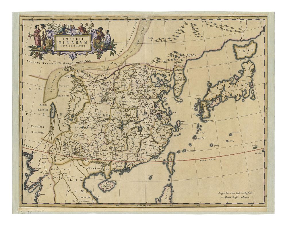
Landmark 17th Century Map of China, Korea, and Japan by Johannes Blaeu, ”Imperii Sinarum Nova Descriptio,” c.1654 - A crucial 17th-century map titled ”Imperii Sinarum Nova Descriptio” (A New Description of the Chinese Empire), crafted by Johannes Blaeu and published in Martino Martini's Atlas Sinensis. This map represents a landmark in Western cartography, showcasing China, Korea, and Japan, and is considered the first Western atlas of China. Created with the collaboration of Jesuit missionary Martino Martini, who had access to extensive indigenous and Jesuit surveys from China, as well as contributions from João de Goma and Maarten Gerritsz Vries, the map reflects a pivotal moment in the Golden Age of Dutch cartography. Notable features include the first accurate depiction of Korea as a peninsula (correcting earlier maps that showed it as an island) and the recognition of Hokkaido (Ezo) as an island north of Japan. The map also provides a detailed portrayal of China, with the Great Wall clearly marked. Condition: Backed on linen, with the left and right margins missing. Size: 46 x 59.5 cm (18.11 x 23.43 inches). Keywords: Johannes Blaeu, Martino Martini, 17th century map, China map, Korea map, Japan map, Imperial China, Imperii Sinarum Nova Descriptio, Atlas Sinensis, historical map, Dutch cartography, Jesuit maps, Hokkaido, Great Wall of China, antique map, Asia map, early cartography.