Bidspirit auction | Antique Map of Denmark by
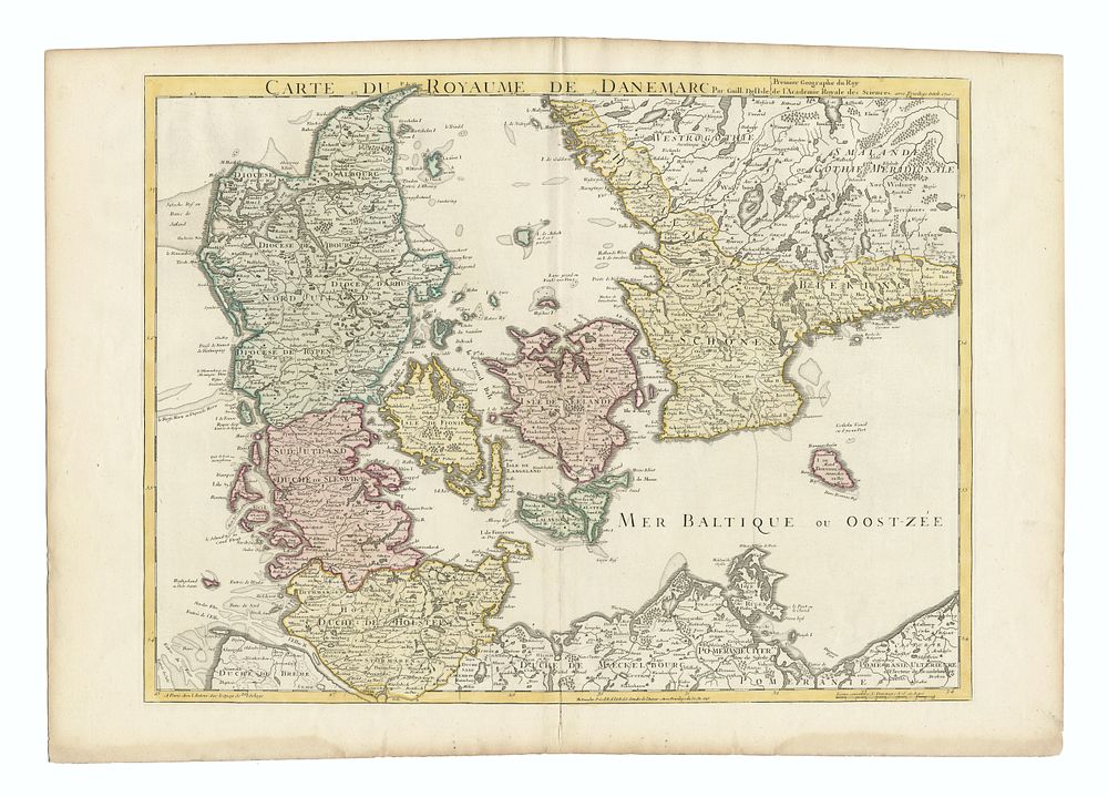
Antique Map of Denmark by Guillaume Delisle, c.1730 - Carte du Royaume de Danemarc - A beautifully detailed antique map titled ”Carte du Royaume de Danemarc” (Map of the Kingdom of Denmark), created by the renowned French cartographer Guillaume Delisle and published by Covens & Mortier c. 1730. This copper engraving, printed on paper, offers an accurate representation of Denmark during the early 18th century. The map features finely executed geographical details and is a testament to Delisle's exceptional skill in cartography. Condition: Light impression with good overall condition. Size: 48.5 x 64 cm (19.09 x 25.2 inches). Keywords: Guillaume Delisle, Denmark map, 18th century map, antique map, Covens & Mortier, copper engraving, historical map, Danish Kingdom, cartography, early map, Europe map, Denmark historical geography.