Bidspirit auction | Large Map of China &
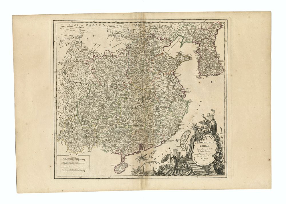
Large Map of China & Korea with Formosa, by Gilles Robert de Vaugondy, c.1751 – L'Empire De La Chine - A striking large-format map of China and Korea, titled L'Empire De La Chine, created by Gilles Robert de Vaugondy and published in his Atlas Universel around 1751. This detailed map is beautifully colored by province, showcasing the geographical boundaries of China and Korea during the 18th century. One of the highlights of the map is its depiction of Taiwan (Formosa), an island of particular importance during this period. The map is adorned with a stunning full-colour cartouche, adding visual elegance. Condition: The centre fold has discoloration, and there is some minor foxing. Size: 48 x 52.5 cm (18.9 x 20.7 inches). Keywords: China map, Korea map, Taiwan map, Formosa, Gilles Robert de Vaugondy, 18th century map, antique map, cartography, Atlas Universel, historical map, full-color cartouche, China and Korea historical geography, rare map.