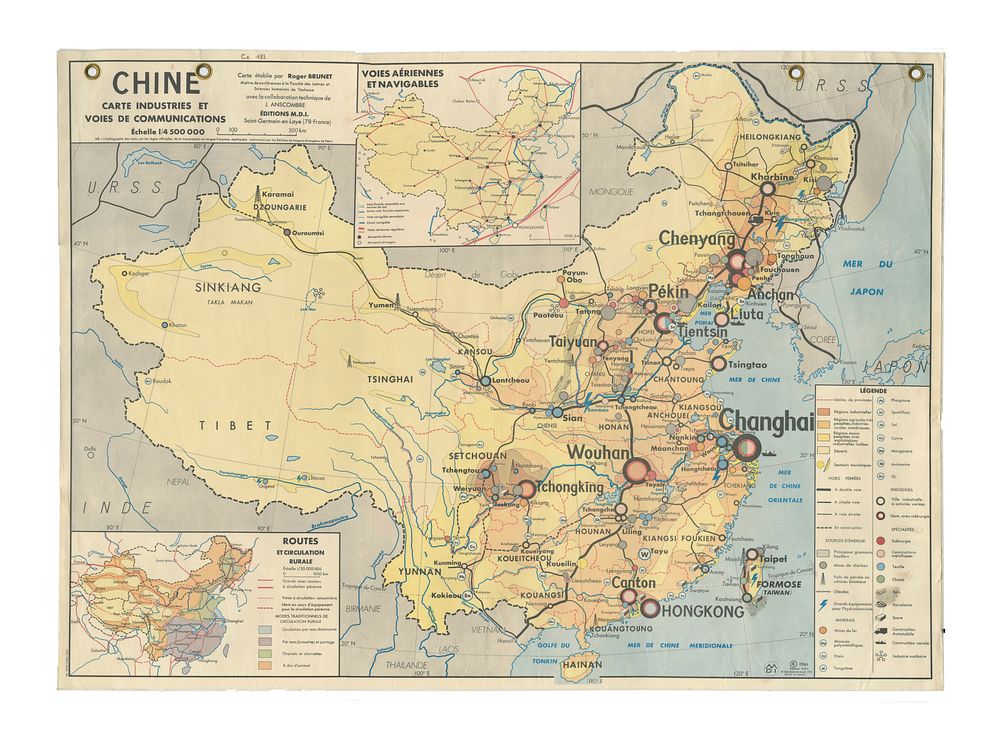
Bidspirit auction | Laminated School Map of China
Laminated School Map of China – Industry and Communication Routes, 1966 by Roger Brunet - A laminated school map titled China: Industry and Communication Routes, produced in 1966 by M.D.I. (Made in France, St Germain en Laye). The map was created by Roger Brunet, a lecturer at the Faculty of Letters and Human Sciences of Toulouse, with technical collaboration from J. Anscombre. It highlights key industrial regions and major communication routes within China during the mid-20th century, providing valuable insights into the country's infrastructure at the time. Condition: The map shows signs of creasing and wear due to use. Size: 92 x 124.5 cm (36.2 x 49 inches). Keywords: China map, industry map, communication routes, laminated map, Roger Brunet, 1966 map, educational map, mid-20th century map, historical map, M.D.I. map, school map, China infrastructure map.