Bidspirit auction | Les Isles Britanniques - Antique
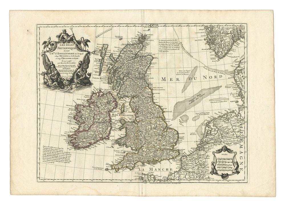
Les Isles Britanniques - Antique Map of the British Isles by Guillaume De L'Isle, Published 1800 - Large-format copper engraved map of the British Isles by Guillaume De L'Isle, published in Paris by Dezauche in 1800. This detailed map features England, Wales, Scotland, Ireland, and adjacent coasts, including Denmark, Norway, France, and the Netherlands. Dated in the plate, it reflects De L’Isle’s precision in cartography. Condition Report: Good overall condition with wide margins. Some border colouring. Image Size: 47 x 61.5 cm (18.5 x 24.2 inches). Keywords: Guillaume De L'Isle, British Isles map, antique maps, 19th-century maps, Dezauche, England, Scotland, Ireland, Wales, cartography, copper engraving.