Bidspirit auction | A Chart Showing Tracks and
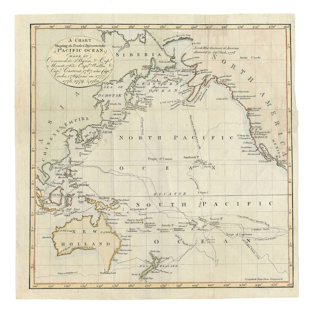
A Chart Showing Tracks and Discoveries in the Pacific Ocean by Byron, Mouat, Wallis, Carteret, and Cook - Historical chart detailing the Pacific Ocean explorations of Commodore Byron (1765), Captain Mouat (1765), Captain Wallis (1767), Captain Carteret (1767), and Captain Cook (1769, 1777, 1778, 1780). This map illustrates their significant discoveries and navigational tracks, providing a valuable snapshot of 18th-century maritime exploration. Coloured and detailed, it reflects the era’s cartographic achievements. Condition Report: Margins trimmed. Repairs visible at the top and right side. Image Size: 23 x 22.5 cm (9 x 8.9 inches). Keywords: Pacific Ocean map, Byron, Mouat, Wallis, Carteret, Cook, Captain Cook, maritime exploration, 18th-century maps, discoveries, antique maps, nautical chart, exploration history.