Bidspirit auction | Chart of the Mediterranean with
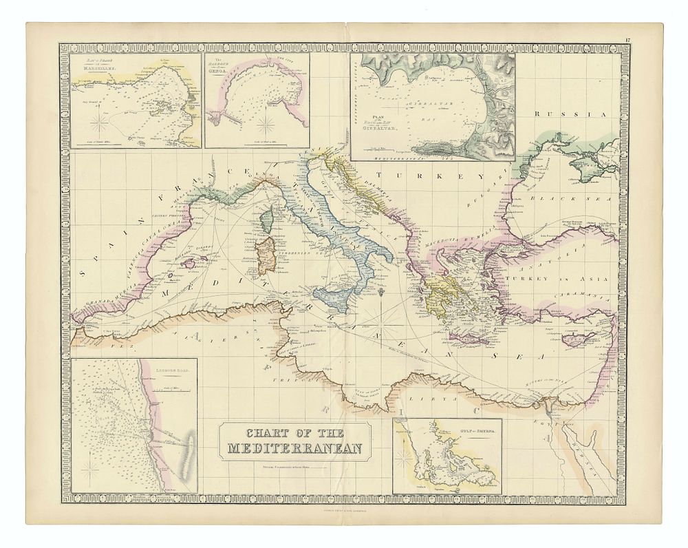
Chart of the Mediterranean with Inset Maps by George Philip & Son, 1852 - Detailed engraved chart of the Mediterranean Sea by George Philip & Son, published in Liverpool in 1852. This map highlights steam communication routes with dashed lines and includes inset maps of Marseille, Genoa, Gibraltar, the Gulf of Smyrna, and Leghorn Road. Hand-coloured. Condition Report: Some creasing along the centrefold. Small wormholes visible in the centrefold. Image Size:50 x 60.5 cm (19.7 x 23.8 inches). Keywords: Mediterranean map, George Philip & Son, 19th-century maps, maritime charts, steam communication, Marseille, Genoa, Gibraltar, Smyrna, Leghorn Road, antique maps, Liverpool publication