Bidspirit auction | Chart of the Atlantic Ocean
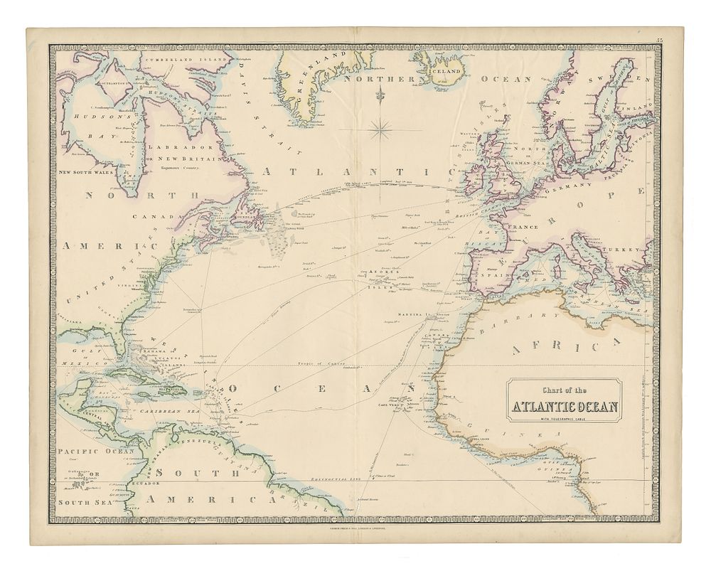
Chart of the Atlantic Ocean by George Philip & Son, c.1851 - Original antique map of the Atlantic Ocean by George Philip & Son, published in 1851. This hand-coloured engraved chart reflects the cartographic expertise of George Philip, a noted geographical publisher and globe maker, who founded his business in Liverpool in 1834 and was later joined by his son in 1848. A fine example of mid-19th-century maritime mapping. Condition Report: Crease along the centrefold. Visible creases and small wormholes in the centrefold. Image Size: 50 x 63.5 cm (19.7 x 25 inches). Keywords: Atlantic Ocean map, George Philip & Son, 19th-century maps, maritime charts, antique maps, Liverpool publication, hand-coloured engraving, 1850s maps, Atlantic cartography