Bidspirit auction | Regni Daniae et Ducatus Holsatia
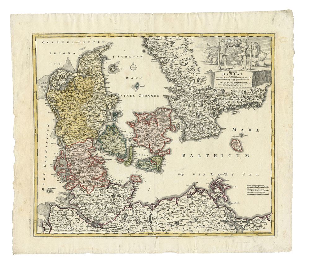
Regni Daniae et Ducatus Holsatia et Slesvicum by J. B. Homann, c. 1730 - Beautifully detailed map of Denmark by Johann Baptist Homann, c. 1730, showcasing insular and peninsular Denmark along with parts of Germany and Sweden. The map highlights fortified cities, villages, roads, bridges, forests, castles, and topography. Condition Report: Signs of wear and visible creases. Image Size: 48.5 x 57 cm (19.1 x 22.4 inches). Keywords: Denmark map, J. B. Homann, Homann Heirs, 18th-century maps, Nuremberg cartography, Danish royal crest, Schleswig, Holstein, Scandinavian maps, antique maps, Maior Atlas Scholasticus