Bidspirit auction | Terra Sancta que in Sacris
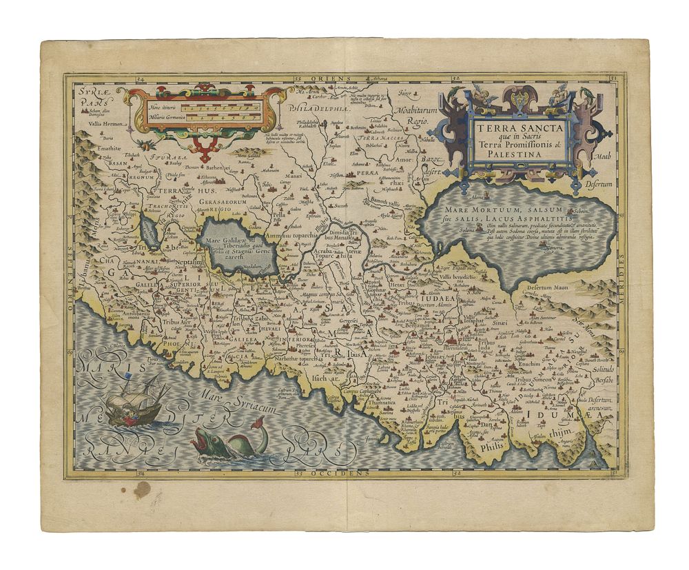
Terra Sancta que in Sacris Terra Promissionis olim Palestina by Mercator/Hondius, c. 1630 - Decorative map of Palestine extending from the Lebanon mountains to the Dead Sea, based on the 16th-century work of P. Laicksteen and Chr. 's-Grooten. Produced by Mercator and Hondius in Amsterdam. Condition Report: Signs of wear. Repairs to margins. Stain in the lower left margin. Image Size: 35.5 x 49 cm (14 x 19.3 inches). Keywords: Holy Land map, Palestine map, Mercator, Hondius, 17th-century maps, Terra Sancta, decorative cartography, antique maps, Lebanon, Dead Sea, sea monsters, historical cartography