Bidspirit auction | Canale Marittimo di Suez, Carta
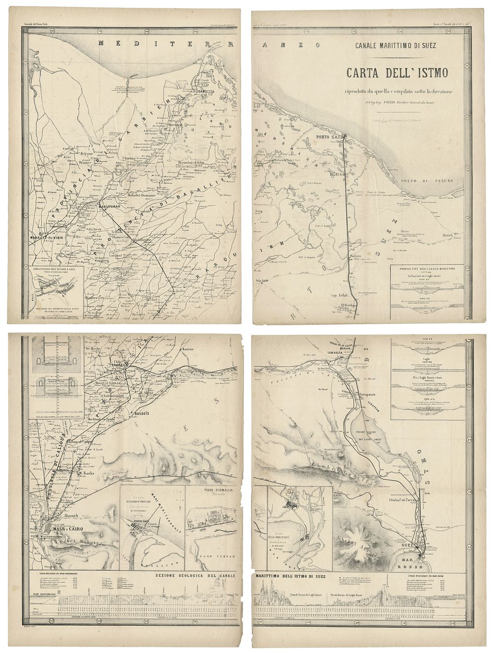
Canale Marittimo di Suez, Carta dell'Istmo, 1870, antique Suez canal map - A large and detailed 1870 map of the Suez Canal, originally published in the Giornale del Genio Civile. Compiled under the direction of Engineer Voisin, this illustrative chart covers the entire area of the Suez Canal at a scale of 1:200,000. It features: Detailed profiles of the maritime canal from Port Said to the Great Bitter Lakes and from the Great Bitter Lakes to Suez. Freshwater canal intake from Cairo to Suez. Indications of water movement within the canal. Plans of Port Said, Ismailia, and Suez Roadsteads. A geological cross-section of the Suez Canal Isthmus. This finely crafted work is a technical and historical depiction of one of the 19th century's most significant engineering achievements. Condition Report: Signs of wear consistent with age. Image Sizes: Top right: 53.5 x 39 cm (21 x 15.4 inches). Top left: 51.5 x 39.5 cm (20.3 x 15.6 inches). Bottom right: 52.5 x 39.5 cm (20.7 x 15.6 inches). Bottom left: 53 x 39.5 cm (20.9 x 15.6 inches). Keywords: Suez Canal map, 19th-century cartography, engineering maps, maritime canal, Egyptian history, Voisin, Giornale del Genio Civile, antique maps, Port Said, Ismailia, Great Bitter Lakes, Suez Roadstead.