Bidspirit auction | Globo Terrestre by Pietro Amati
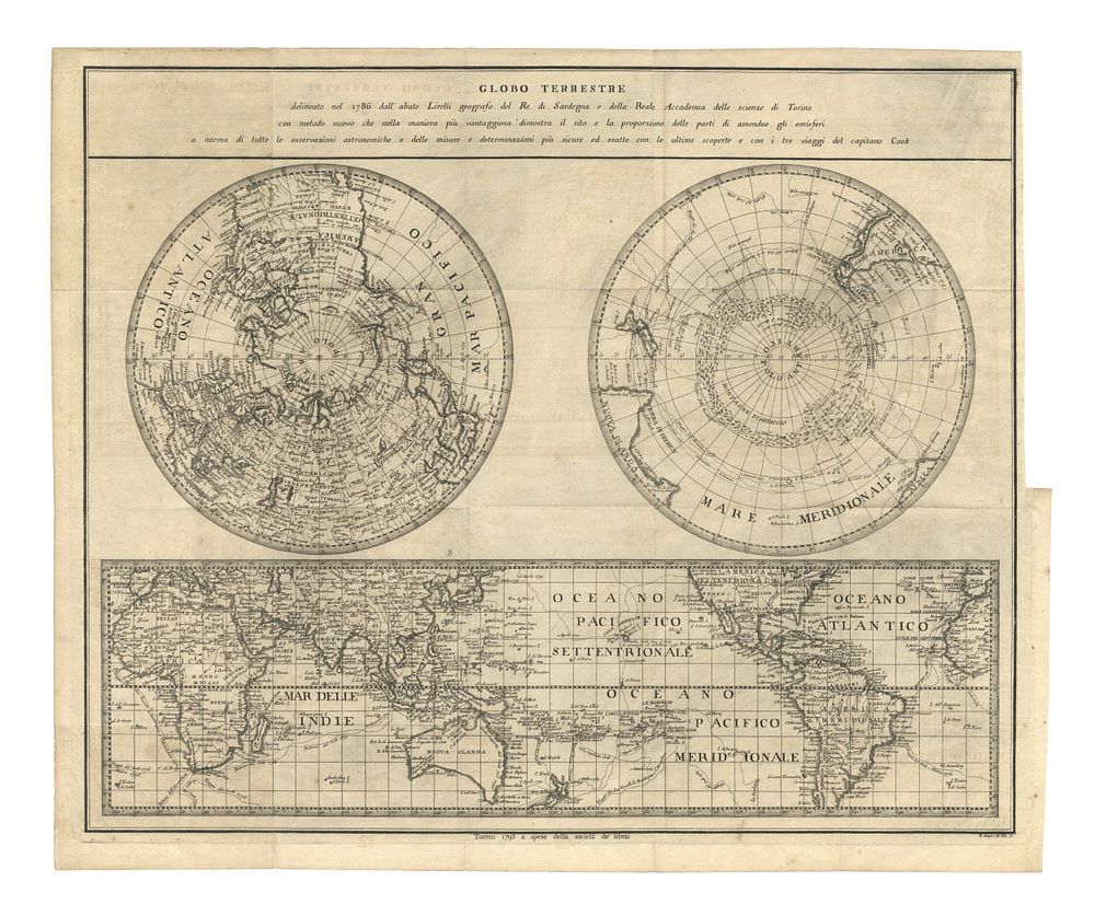
Globo Terrestre by Pietro Amati and P. Tola, Torino, 1793 - An intriguing world map presented in dual projection: polar in the upper section and planar in the lower. This original copper-engraved map was printed in Turin in 1793 by Pietro Amati and P. Tola. The map is based on the work of geographer Salvatore Lirelli, first published in 1786, and includes details of the latest discoveries and the three voyages of Captain James Cook. The upper portion features the title and a description of the map. Condition Report: Signs of wear and original creases at multiple points. Repair to the right-hand side of the map. Image Size: 37 x 45.5 cm (14.6 x 17.9 inches). Keywords: 18th-century world map, dual projection, polar map, planar map, James Cook, Pietro Amati, P. Tola, Turin map, antique map, Salvatore Lirelli, copper engraving, geographic discoveries.