Bidspirit auction | Carta Esferica de la Costa
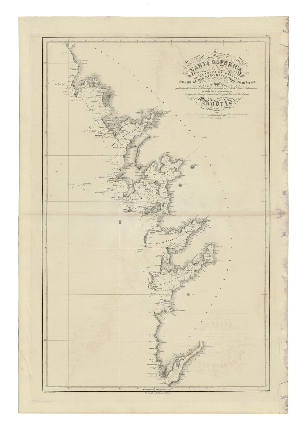
Carta Esferica de la Costa de Galicia desde el rio Miño by Ignacio Fernández Flórez, 1835 - An important and scarce nautical chart of the Galicia coast, updated with hydrographic surveys conducted in 1833. This chart was produced by Captain Ignacio Fernández Flórez, commander of the brigantine Guadiana, who meticulously surveyed the Galician coast to identify even the smallest breakers and shallows. This significant work enhanced the understanding of the region's coastal geography, almost 50 years after Vicente Tofiño's surveys in 1786. Condition Report: Signs of wear evident. Marks on the right margin. Small tear to the left side of the centrefold. Image Size: 89 x 57 cm (35 x 22.4 inches). featuring a naval signature. Keywords: Galicia coast, nautical chart, Ignacio Fernández Flórez, 19th-century cartography, hydrographic survey, Spain, maritime history, coastal navigation, rare nautical map, historical map of Galicia.