Bidspirit auction | Plano de las Rías
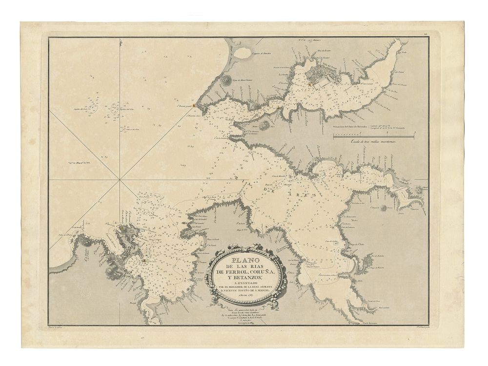
Plano de las Rías de Ferrol, Coruña y Betanzos by San Miguel, nautical sea chart - A detailed nautical chart of the Rías of Ferrol, Coruña, and Betanzos, created by Brigadier Vicente Tofiño de San Miguel of the Spanish Royal Navy. Originally engraved by F. Selma and delineated by Bauzá, this chart is an important artifact of Spanish maritime cartography. Featuring a stamp from the Dirección Hidrográfica, it highlights the meticulous efforts of 18th-century hydrographic surveys and was later corrected in 1869 to reflect updated geographic information. Condition Report: General signs of wear. featuring a naval signature. Image Size: 44.5 x 58.5 cm (17.5 x 23 inches). Keywords: Rías de Galicia, Vicente Tofiño, Spanish cartography, nautical chart, hydrography, 18th-century maps, maritime history, Ferrol, Coruña, Betanzos, rare maps of Spain, nautical chart, sea chart.