Bidspirit auction | Geometric Plan of the Port
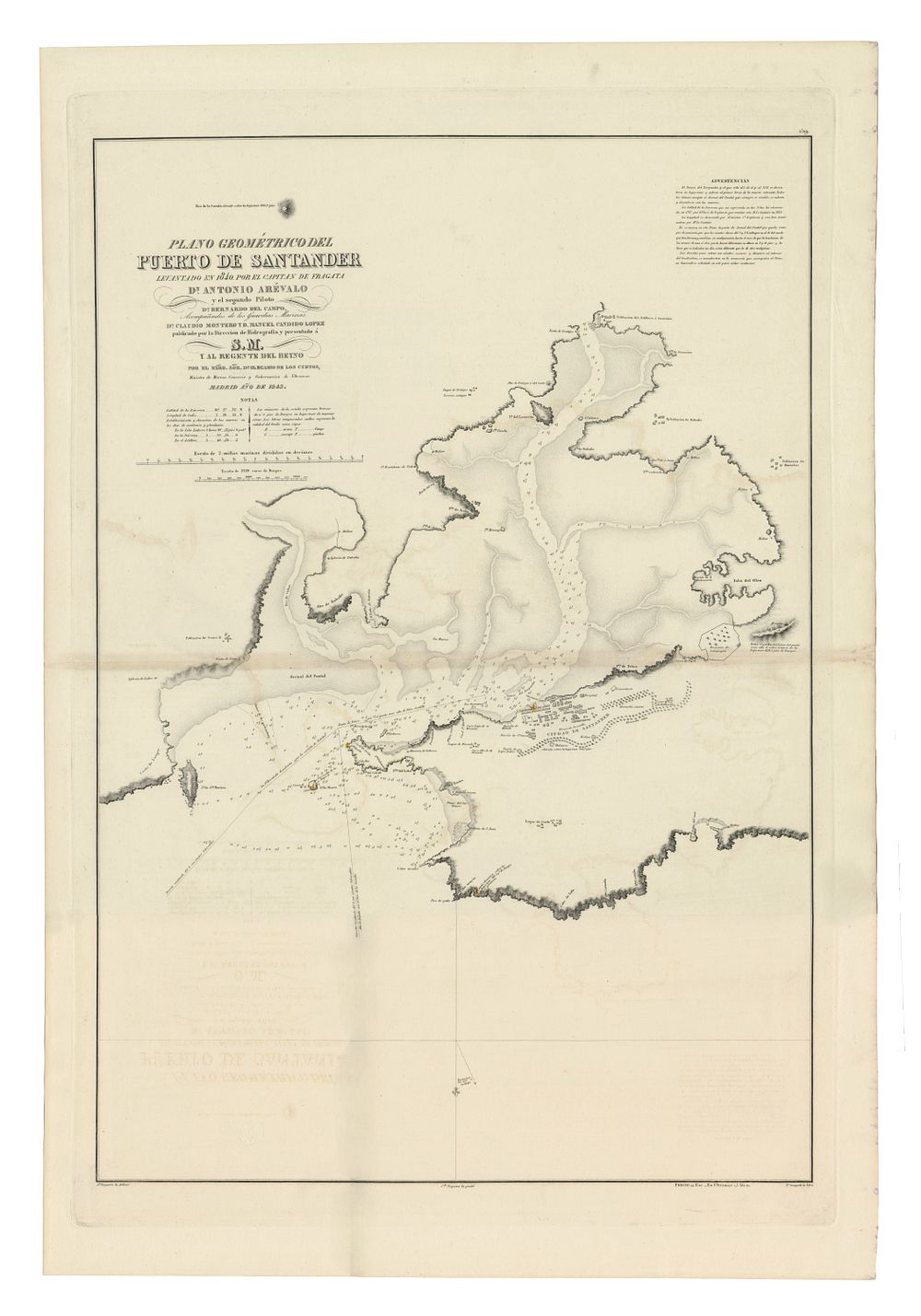
Geometric Plan of the Port of Santander by Antonio Arévalo et al., 1843, sea chart - An original geometric plan of the Port of Santander, created in 1840 by Captain of Fragata Dn. Antonio Arévalo, with contributions from the second pilot Bernardo del Campo and marine guards Claudio Montero and Manuel Candido López. This detailed map of Santander Bay was presented to the Spanish Crown and the Regent by His Excellency Dn. Olegary of the Cuetos, Minister of Navy Trade and Overseas Affairs. Condition Report: Slight signs of wear. featuring a naval signature. Image Size: 85.5 x 58.5 cm (33.7 x 23 inches). Keywords: Port of Santander map, Antonio Arévalo chart, 19th-century nautical maps, Spanish hydrography, Santander Bay chart, Hydrographic Directorate, maritime history, rare Spanish cartography.