Bidspirit auction | Plans of the Port of
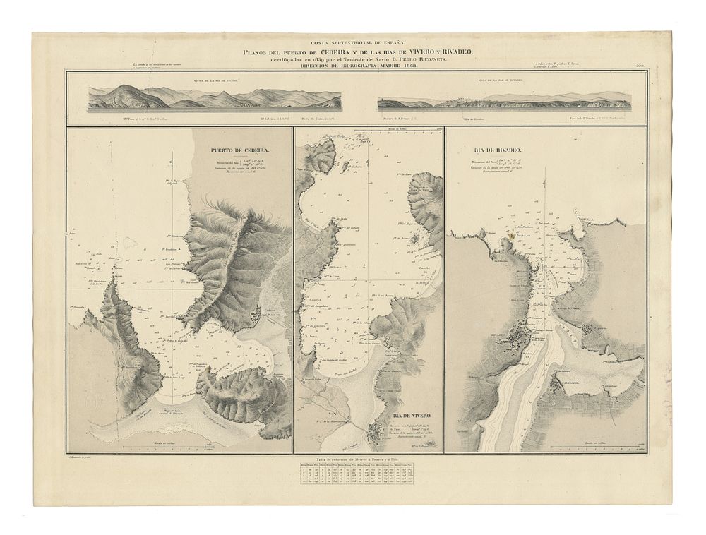
Plans of the Port of Cedeira and the Rias of Vivero and Rivadeo by Pedro Riudavets, 1868, sea chart - An original cartographic chart titled Plans of the Port of Cedeira and the Rias of Vivero and Rivadeo, rectified in 1859 by ship lieutenant D. Pedro Riudavets and published in 1868 by the Hydrography Directorate in Madrid. This chart, featuring a naval signature. Condition Report: Minimal wear. Slight staining to the right margin. Image Size: 41 x 61.5 cm (16.1 x 24.2 inches). Keywords: Port of Cedeira map, Vivero and Rivadeo Rias chart, Pedro Riudavets, Hydrography Directorate maps, 19th-century Spanish maritime charts, nautical cartography, naval history, rare hydrographic surveys.