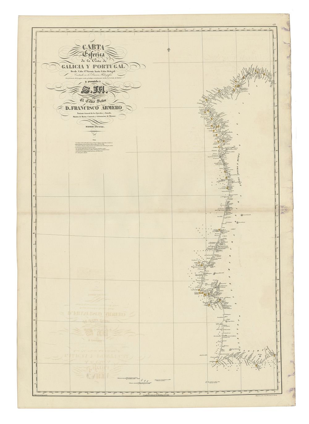
Bidspirit auction | Nautical Chart of the Coasts
Nautical Chart of the Coasts of Galicia and Portugal, 1846, sea chart - An exquisite and detailed nautical chart illustrating the coasts of Galicia and Portugal. Created under the auspices of the Hydrography Directorate, the organization dedicated to the study and promotion of nautical cartography established in 1789 (officially recognized in 1797). The seal of the Hydrography Directorate in the lower left corner. Condition Report: Slight signs of wear. Image Size: 94 x 60.5 cm (37 x 23.8 inches). Keywords: Galicia Portugal nautical chart, Hydrography Directorate, Spanish maritime cartography, 19th-century maps, Isabel II charts, coastal navigation, naval signature map, historical cartography.