Bidspirit auction | A PLAN OF THE CITY
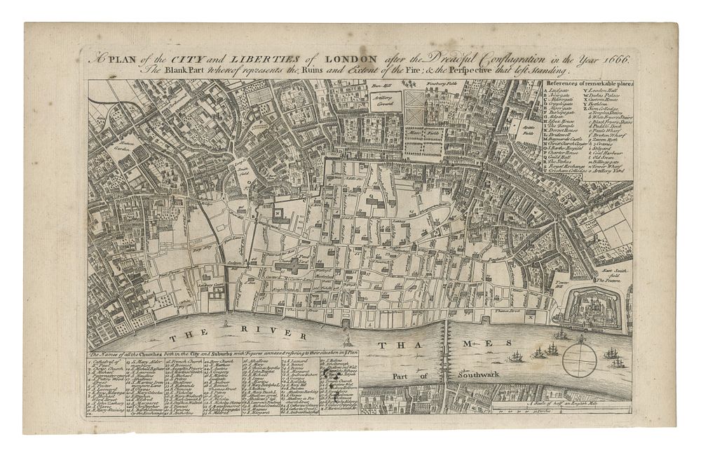
A PLAN OF THE CITY AND LIBERTIES OF LONDON AFTER THE DREADFUL CONFLAGRATION IN THE YEAR 1666 - A handsome antique map of the City of London and its surroundings, designed to depict the vast extent of the Great Fire of 1666. The map highlights the destruction caused by the fire, showing the city's streets and major buildings before the conflagration, with keyed indices pointing out significant locations. This map is based on an earlier work by Wenceslaus Hollar and was produced for John Noorthouck’s ”A New History of London” (1772-1773). A detailed historical representation of London's urban landscape post-fire. Condition: Small staining to the upper margin and title. Size: 23 x 33.5 cm (9 x 13.2 inches). Published: London 1755 Keywords: Great Fire of London map, historical London map, 18th-century London, Wenceslaus Hollar, John Noorthouck, Maitland Toms, antique city maps, London cartography, 1755 map, fire destruction, town plans, city views, London environs