Bidspirit auction | Rare map of North America
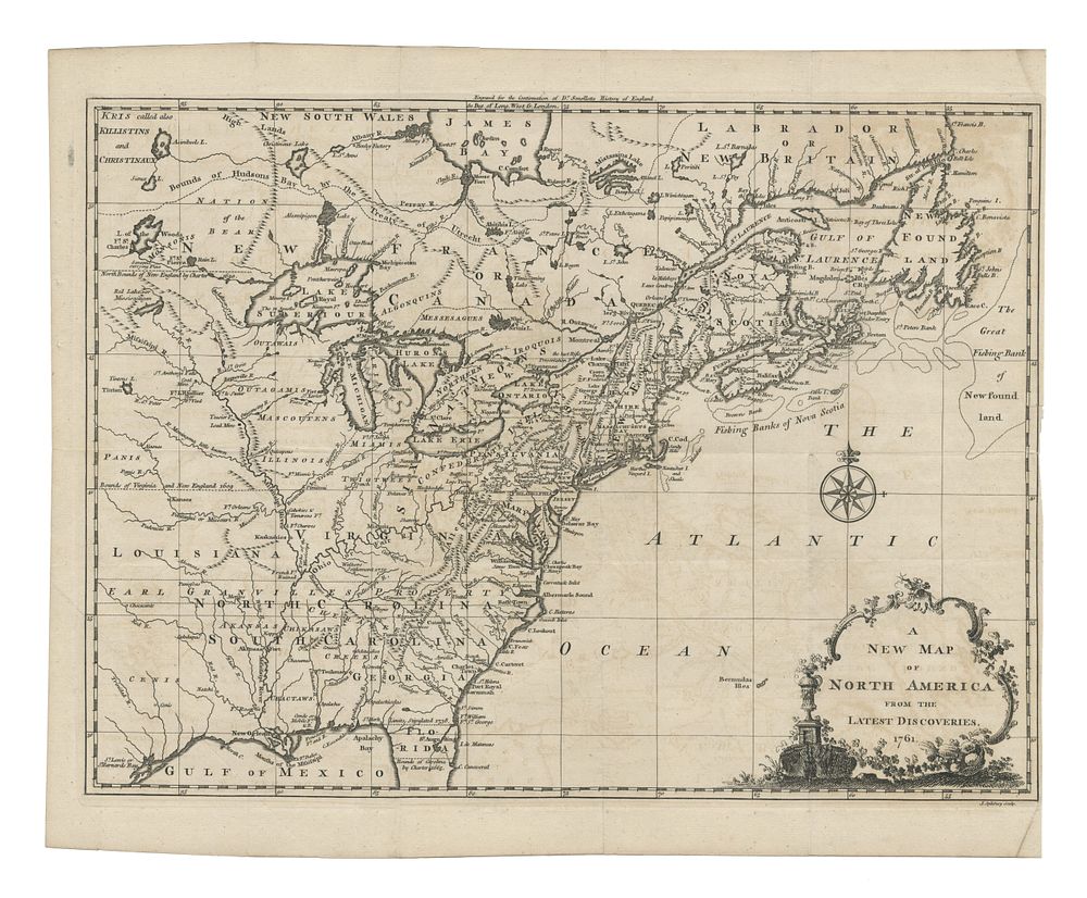
Rare map of North America ”A New Map of North America From The Latest Discoveries” - A scarce first edition of John Spilsbury's detailed map of the British Colonies in North America, published just before the conclusion of the French & Indian War. This map presents the territorial claims of the Carolinas, Virginia, and New England extending westward toward the Pacific Ocean, as well as the inclusion of Georgia and various Native American regions. The map also marks key boundaries such as the Earl of Granville's line and the southern Florida/Carolina boundary. An important piece of 18th-century cartography showing the political landscape of pre-Revolutionary America. Published in London, John Spilsbury c.1761. Size: 27.5 x 37.5 cm (10.8 x 14.8 inches). Condition:Small tear to the right side of the map. Keywords:John Spilsbury map, 18th-century North America, British Colonies map, pre-Revolutionary America, French & Indian War, colonial cartography, American territorial claims, historical maps, 1761 map, rare maps, America maps, Florida map, Carolina, cape cod