Bidspirit auction | Rare map of the Holy
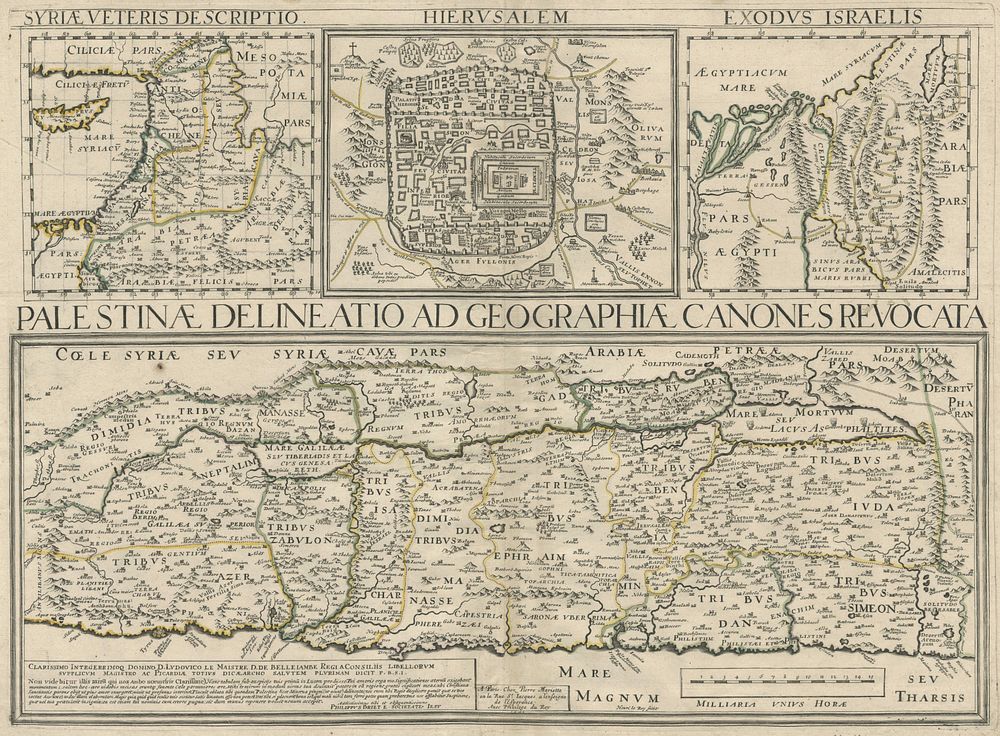
Rare map of the Holy Land ”Palestinae Delineatio Ad Geographiae Canones Revocata” - A rare and detailed map of the Holy Land and its surroundings, featuring multiple small maps that illustrate key biblical locations and events. The lower part depicts Palestine, oriented to the east and divided according to the Twelve Tribes of Israel, running from Sidon to Rhinocolura along the coastline. The upper part contains three maps: one showing ancient Syria (”Syriae veteris descriptio”), a plan of ancient Jerusalem (”Hierusalem”), and a map of the Exodus of the Israelites from Egypt through the Red Sea and Sinai Peninsula until they reached Palestine (”Exodus Israelis”). This map was originally published as part of the historical atlas Parellela geographie veteris et novae by the Jesuit Priest Philippe Briet. Published Paris, 1641 Philippe Briet. Condition: Small signs of wear Size: 39.5 x 54 cm (15.6 x 21.3 inches). Keywords:Philippe de La Rue map, Holy Land map, ancient Jerusalem, Exodus map, biblical cartography, 17th-century maps, historical atlases, Philippe Briet, Paris maps, rare antique maps.