Bidspirit auction | Mappa. von der Oestereich: Moldau
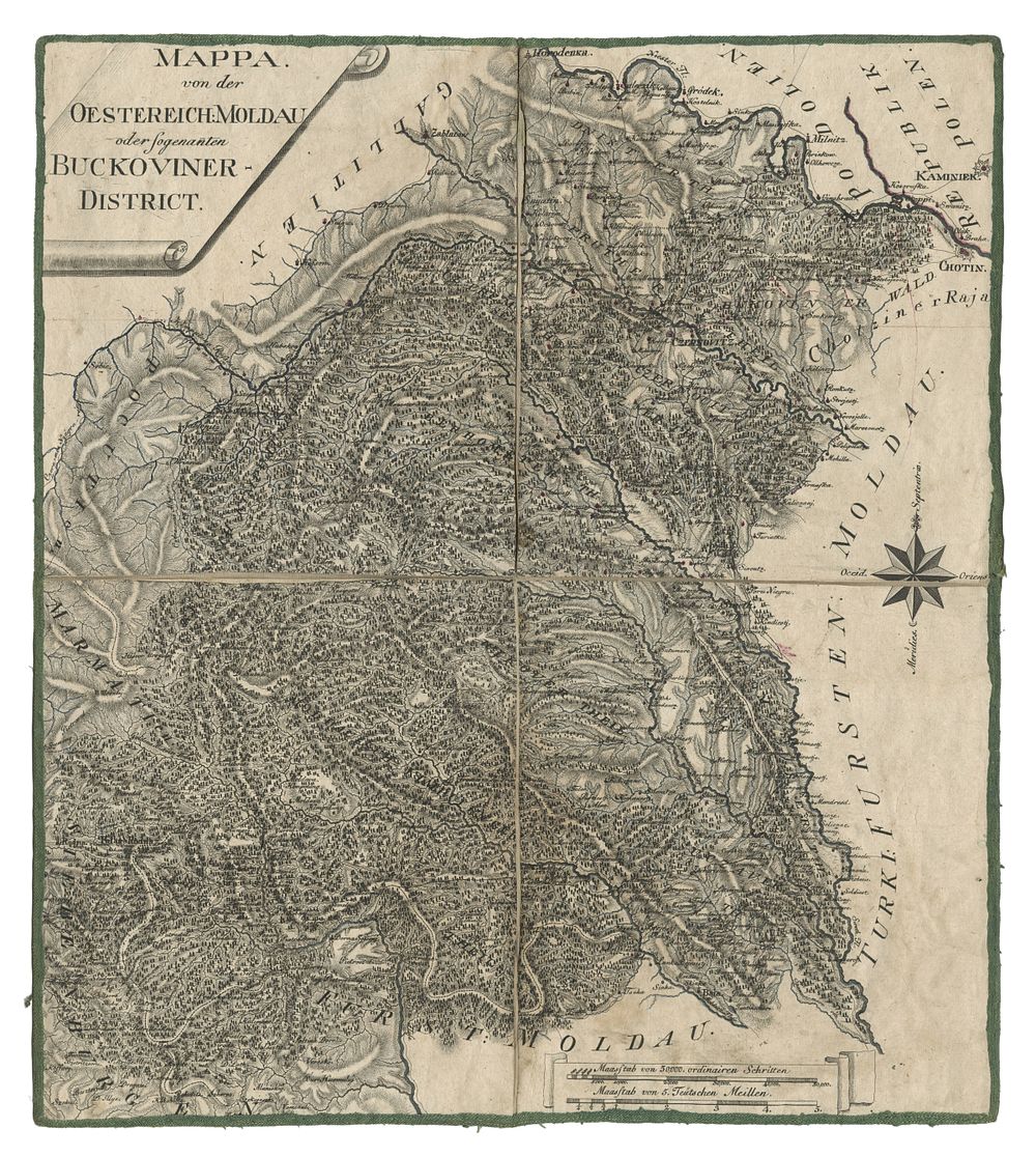
Mappa. von der Oestereich: Moldau oder Sogenanten Buckoviner-District by Adam Jakob (1788) - A rare and historically significant map of the Bukovina District, created just prior to its formal integration into the Kingdom of Galicia and Lodomeria in 1787. This map highlights Bukovina, also known as the Chernivtsi District, an administrative-territorial area within the Habsburg monarchy. Originally annexed from Moldavia, Bukovina served as a military district from 1775 to 1786 before being officially incorporated into Galicia and Lodomeria. The Austrian Empire occupied Bukovina in 1774 following the First Partition of Poland in 1772, strategically linking Galicia and Transylvania. The region remained part of the Austrian Empire’s Kingdom of Galicia and Lodomeria until 1849. Published by Adam Jakob, this copperplate-printed map captures the geopolitical significance of Bukovina during this transformative period in European history. Condition Report: Laid on linen with slightly trimmed margins. Image Size: 50 x 44.5 cm (19.7 x 17.5 inches). Keywords: Bukovina map, Adam Jakob cartography, 18th-century European maps, Habsburg monarchy maps, Galicia and Lodomeria cartography, Moldavia history, Austrian Empire maps, Chernivtsi District, historical frontier maps, Partition of Poland cartography, Ukraine maps, eastern Europe.